
IMAGES TAKEN NEAR TO
Alverton Court, WIGAN, WN3 4JA
Introduction
This page details the photographs taken nearby to Alverton Court, WN3 4JA by members of the Geograph project.
The Geograph project started in 2005 with the aim of publishing, organising and preserving representative images for every square kilometre of Great Britain, Ireland and the Isle of Man.

There are currently over 7.5m images from over14,400 individuals and you can help contribute to the project by visiting https://www.geograph.org.uk
Image Map
Images are licensed for reuse under creativecommons.org/licenses/by-sa/2.0
Notes
- Clicking on the map will re-center to the selected point.
- The higher the marker number, the further away the image location is from the centre of the postcode.
Image Listing (133 Images Found)
Images are licensed for reuse under creativecommons.org/licenses/by-sa/2.0
Image
Details
Distance
1
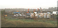
Holme Park North-03
November - and the beech tree in the foreground is in winter colours. The earth-movers are busy at work in the centre of the site.
Image: © David Long
Taken: 23 Nov 2005
0.05 miles
2
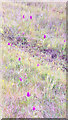
Marsh orchids on waste ground between Warrington Road and Marlborough Avenue
Common orchids, they say, but this is a former clay pit in a mining area in Wigan. The show has ended - the site is being built on.
Image: © David Long
Taken: 30 May 2003
0.07 miles
3
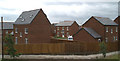
Holme Park North-22
Just about ready for occupation.
Image: © David Long
Taken: 21 Jun 2007
0.08 miles
4
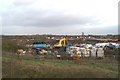
Holme Park North-04
More materials, more earth moving.
Image: © David Long
Taken: 15 Dec 2005
0.08 miles
5
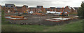
Holme Park North-14
The beech tree is just visible on the left. The floor slabs are in place where St Mary's church once stood.
Image: © David Long
Taken: 26 Oct 2006
0.08 miles
6
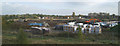
Holme Park North-02
Note the row of very old trees on the right - soon to be felled. Note also the drainage pipes. Massive drains had to be put in, with pumps, to ensure the area is kept drained, and tonnes of earth shifted around to level off the site and elevate sections to prevent flooding. A clay pit and brickworks once stood on the field.
Image: © David Long
Taken: 17 Oct 2005
0.08 miles
7
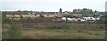
Holme Park North-01
In September 2005 work began on building a housing estate on a field between Warrington Road and Marlborough Avenue, Spring View. In the north-west corner of the field once stood the church of St Mary, Ince. Built in 1887, it was demolished in 1978. This is the first in a series of pics taken from an old railway bridge just north of the site each month since.
Image: © David Long
Taken: 22 Sep 2005
0.08 miles
8
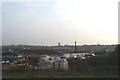
Holme Park North-05
The pile-driver, with evidence of its work, on site ensuring the new houses are well-founded. Note that the line of old willows visible to the right in earlier pics has now disappeared.
Image: © David Long
Taken: 24 Jan 2006
0.09 miles
9
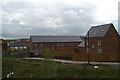
Holme Park North-20
The terraced row is roughly where the east end of the old church had been.
Image: © David Long
Taken: 24 Apr 2007
0.09 miles
10
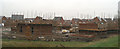
Holme Park North-16
Another mild winter allows building to progress well.
Image: © David Long
Taken: 15 Dec 2006
0.09 miles