IMAGES TAKEN NEAR TO
Ferndale Place, PONTEFRACT, WF9 4RZ
Introduction
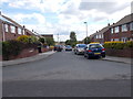
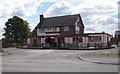
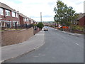
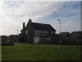
This page details the photographs taken nearby to Ferndale Place, WF9 4RZ by members of the Geograph project.
The Geograph project started in 2005 with the aim of publishing, organising and preserving representative images for every square kilometre of Great Britain, Ireland and the Isle of Man.

There are currently over 7.5m images from over14,400 individuals and you can help contribute to the project by visiting https://www.geograph.org.uk
Image Map
Images are licensed for reuse under creativecommons.org/licenses/by-sa/2.0
Notes
- Clicking on the map will re-center to the selected point.
- The higher the marker number, the further away the image location is from the centre of the postcode.
Image Listing (53 Images Found)
Images are licensed for reuse under creativecommons.org/licenses/by-sa/2.0
Image
Details
Distance
5
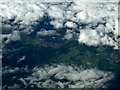
Hemsworth from the air
Framed by clouds, the A628 and the sports track at Kirkby Road can be seen.
Image: © Thomas Nugent
Taken: 16 Jun 2014
0.07 miles