
IMAGES TAKEN NEAR TO
Waindyke Way, NORMANTON, WF6 1TF
Introduction
This page details the photographs taken nearby to Waindyke Way, WF6 1TF by members of the Geograph project.
The Geograph project started in 2005 with the aim of publishing, organising and preserving representative images for every square kilometre of Great Britain, Ireland and the Isle of Man.

There are currently over 7.5m images from over14,400 individuals and you can help contribute to the project by visiting https://www.geograph.org.uk
Image Map
Images are licensed for reuse under creativecommons.org/licenses/by-sa/2.0
Notes
- Clicking on the map will re-center to the selected point.
- The higher the marker number, the further away the image location is from the centre of the postcode.
Image Listing (13 Images Found)
Images are licensed for reuse under creativecommons.org/licenses/by-sa/2.0
Image
Details
Distance

2

Industrial estate near Normanton
The photo was taken right in the SW corner of the square looking in a NE direction. This area has been completely re-developed since the Geograph OS map was printed and doesn't seem to resemble what's 'on the ground' now.
Image: © Andy Beecroft
Taken: 7 May 2006
0.18 miles
3
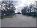
Ripley Drive - viewed from Beckbridge Road
Image: © Betty Longbottom
Taken: 30 Mar 2016
0.19 miles
4
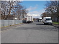
Ripley Drive - viewed from Beckbridge Road
Image: © Betty Longbottom
Taken: 30 Mar 2016
0.20 miles
5

Entrance to Lloyds Banking Group's premises
Obviously there are not enough car parks on-site.
Image: © Christine Johnstone
Taken: 18 Nov 2010
0.21 miles
6

Lloyds Banking Group's premises
This large grey shed was previously used by the Halifax bank.
Image: © Christine Johnstone
Taken: 18 Nov 2010
0.21 miles
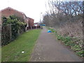
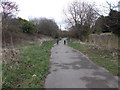
10
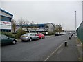
Mildred Sylvester Way
Normanton industrial estate depends on its location just a kilometre from junction 31 on the M62.
Image: © Christine Johnstone
Taken: 18 Nov 2010
0.24 miles