
IMAGES TAKEN NEAR TO
Painthorpe Lane, WAKEFIELD, WF4 3HF
Introduction
This page details the photographs taken nearby to Painthorpe Lane, WF4 3HF by members of the Geograph project.
The Geograph project started in 2005 with the aim of publishing, organising and preserving representative images for every square kilometre of Great Britain, Ireland and the Isle of Man.

There are currently over 7.5m images from over14,400 individuals and you can help contribute to the project by visiting https://www.geograph.org.uk
Image Map
Images are licensed for reuse under creativecommons.org/licenses/by-sa/2.0
Notes
- Clicking on the map will re-center to the selected point.
- The higher the marker number, the further away the image location is from the centre of the postcode.
Image Listing (45 Images Found)
Images are licensed for reuse under creativecommons.org/licenses/by-sa/2.0
Image
Details
Distance
2
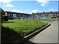
Play area, Painthorpe
On the site of a demolished school, between Painthorpe Lane and Daw Green Avenue.
Image: © Christine Johnstone
Taken: 8 Apr 2022
0.02 miles
3
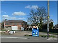
Recycling clothes and shoes on Painthorpe Lane
The tinned-up building at the back of the hardstanding was built in the 1920s.
Image: © Christine Johnstone
Taken: 8 Apr 2022
0.04 miles
4
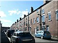
West side, Daw Green Avenue, Painthorpe
Built between 1890 and 1904.
Image: © Christine Johnstone
Taken: 8 Apr 2022
0.05 miles
5
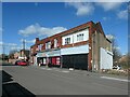
Shops on Painthorpe Lane
From at least 1890 to at least 1950, there was a small row of houses at this end of the shops at a right angle to the road.
Image: © Christine Johnstone
Taken: 8 Apr 2022
0.05 miles
6
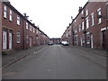
Daw Green Avenue - Painthorpe Lane
Image: © Betty Longbottom
Taken: 11 Apr 2016
0.06 miles
7
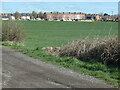
Painthorpe Terrace from Hollingthorpe Lane
The three-storey houses were built between 1891 and 1904 to house miners and their families.
Image: © Christine Johnstone
Taken: 8 Apr 2022
0.07 miles
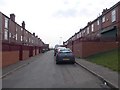
9
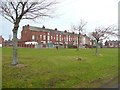
Painthorpe Terrace, Crigglestone
This is part of an estate of early 20C terrace houses surrounded by former mines, and so most likely built to house the miners. The twin second-floor windows in the gable suggest back-to-back houses, but the 1:2500 OS map that first shows them has them as through houses.
Image: © Humphrey Bolton
Taken: 6 Jan 2011
0.07 miles
10
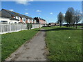
Houses old and new, Painthorpe
In the distance, the three-storey Painthorpe Terrace, built between 1895. The nearer houses were built at least 100 years later.
Image: © Christine Johnstone
Taken: 8 Apr 2022
0.08 miles