
IMAGES TAKEN NEAR TO
Firth Way, WAKEFIELD, WF3 4FQ
Introduction
This page details the photographs taken nearby to Firth Way, WF3 4FQ by members of the Geograph project.
The Geograph project started in 2005 with the aim of publishing, organising and preserving representative images for every square kilometre of Great Britain, Ireland and the Isle of Man.

There are currently over 7.5m images from over14,400 individuals and you can help contribute to the project by visiting https://www.geograph.org.uk
Image Map
Images are licensed for reuse under creativecommons.org/licenses/by-sa/2.0
Notes
- Clicking on the map will re-center to the selected point.
- The higher the marker number, the further away the image location is from the centre of the postcode.
Image Listing (90 Images Found)
Images are licensed for reuse under creativecommons.org/licenses/by-sa/2.0
Image
Details
Distance
2
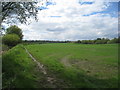
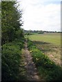
Agricultural enclave
To the left and behind me the land has subsuded due to mining and now consists of a series of ponds. To the right, in the distance, is new housing.
Image: © Jonathan Thacker
Taken: 8 May 2012
0.04 miles
3
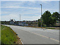
Housing development alongside Nellie Spindler Drive
The show house appears to be nearing completion.
Image: © Stephen Craven
Taken: 25 May 2020
0.07 miles
4
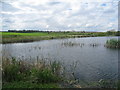
Stanley Ferry flashes (4)
Former agricultural land subjected to subsidence owing to coal mining and now a nature reserve.
Image: © Jonathan Thacker
Taken: 8 May 2012
0.09 miles
5
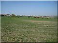
Proposed Wakefield East development (3)
The northern border of the development will reach Ferry Lane.
See Image
Image: © Mike Kirby
Taken: 9 Apr 2011
0.10 miles
6
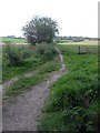
Unsigned footpath (1)
This footpath is accessed via Balk Lane, passing through open countryside until it reaches the A642.
Image: © Mike Kirby
Taken: 25 Apr 2011
0.11 miles
7
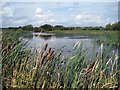
Fishery
Walton anglers have the fishing rights to this small lake down Balk Lane. Many aquatic birds can normally be seen here, although they appear to be hiding today.
Image: © Mike Kirby
Taken: 10 Sep 2008
0.13 miles
8
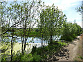
Strawberry Pond, by Balk Lane
The name is given on a sign on a gate. It appears to be a private fishing lake.
Image: © Stephen Craven
Taken: 25 May 2020
0.13 miles
9
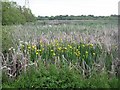
More of Stanley Ferry Flash (10)
Yellow Flag iris, Iris pseudacorus
Found in wet places such as marshes, swamps, bogs, lakes and ponds etc., these are growing by the bank of the top lake.
Image: © Mike Kirby
Taken: 5 Jun 2010
0.13 miles
10
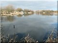
Strawberry Pond fishing pond
With new houses off Nellie Spindler Way beyond.
Image: © Christine Johnstone
Taken: 27 Feb 2021
0.14 miles