IMAGES TAKEN NEAR TO
Linnet Grove, WAKEFIELD, WF2 6SF
Introduction
This page details the photographs taken nearby to Linnet Grove, WF2 6SF by members of the Geograph project.
The Geograph project started in 2005 with the aim of publishing, organising and preserving representative images for every square kilometre of Great Britain, Ireland and the Isle of Man.

There are currently over 7.5m images from over14,400 individuals and you can help contribute to the project by visiting https://www.geograph.org.uk
Image Map
Images are licensed for reuse under creativecommons.org/licenses/by-sa/2.0
Notes
- Clicking on the map will re-center to the selected point.
- The higher the marker number, the further away the image location is from the centre of the postcode.
Image Listing (33 Images Found)
Images are licensed for reuse under creativecommons.org/licenses/by-sa/2.0
Image
Details
Distance
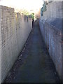
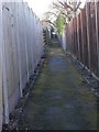
2
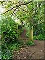
Redundant stile on the Wakefield Way
A public footpath to the north east of Newmillerdam. The Wakefield Way is a 70 mile trail around the borders of Wakefield.
Image: © Graham Hogg
Taken: 26 Apr 2024
0.04 miles

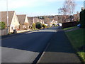
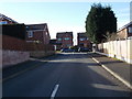
10
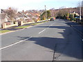
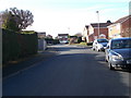
Pledwick Lane - viewed from Kestrel Drive
Image: © Betty Longbottom
Taken: 9 Feb 2016
0.11 miles