IMAGES TAKEN NEAR TO
Welburn Close, WAKEFIELD, WF2 6QZ
Introduction
This page details the photographs taken nearby to Welburn Close, WF2 6QZ by members of the Geograph project.
The Geograph project started in 2005 with the aim of publishing, organising and preserving representative images for every square kilometre of Great Britain, Ireland and the Isle of Man.

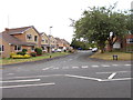
There are currently over 7.5m images from over14,400 individuals and you can help contribute to the project by visiting https://www.geograph.org.uk
Image Map
Images are licensed for reuse under creativecommons.org/licenses/by-sa/2.0
Notes
- Clicking on the map will re-center to the selected point.
- The higher the marker number, the further away the image location is from the centre of the postcode.
Image Listing (74 Images Found)
Images are licensed for reuse under creativecommons.org/licenses/by-sa/2.0
Image
Details
Distance
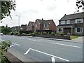
2
Bus stops on Walton Lane
On the south side of the pole, faded from red to almost white.
Image: © Christine Johnstone
Taken: 3 Aug 2011
0.03 miles
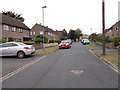
5
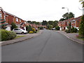
Houses on Walton Lane, Sandal
Mostly large detached houses.
Image: © Christine Johnstone
Taken: 3 Aug 2011
0.05 miles
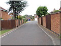
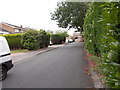
6
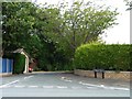
Entrance to St Helen's Grove, Sandal
A 'back garden' development snuck in alongside Sandal Hall Close, and named after Sandal's parish church.
Image: © Christine Johnstone
Taken: 3 Aug 2011
0.05 miles
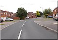
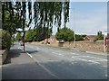
8
Sandal Hall Close - looking towards Walton Lane
Image: © Betty Longbottom
Taken: 24 Jul 2015
0.05 miles
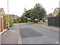
9
St Helen's Grove - looking towards Walton Lane
Image: © Betty Longbottom
Taken: 24 Jul 2015
0.07 miles