IMAGES TAKEN NEAR TO
Batley Road, WAKEFIELD, WF2 0PG
Introduction
This page details the photographs taken nearby to Batley Road, WF2 0PG by members of the Geograph project.
The Geograph project started in 2005 with the aim of publishing, organising and preserving representative images for every square kilometre of Great Britain, Ireland and the Isle of Man.

There are currently over 7.5m images from over14,400 individuals and you can help contribute to the project by visiting https://www.geograph.org.uk
Image Map
Images are licensed for reuse under creativecommons.org/licenses/by-sa/2.0
Notes
- Clicking on the map will re-center to the selected point.
- The higher the marker number, the further away the image location is from the centre of the postcode.
Image Listing (29 Images Found)
Images are licensed for reuse under creativecommons.org/licenses/by-sa/2.0
Image
Details
Distance
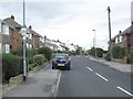
2
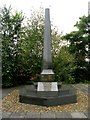
Lofthouse Colliery Disaster Memorial - Batley Road
This commemorates those killed in March 1973 when an inrush of water flooded the pit.
Image: © Betty Longbottom
Taken: 4 Oct 2008
0.08 miles
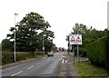
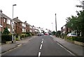
3
Batley Road - viewed from Lindale Mount
Image: © Betty Longbottom
Taken: 10 Sep 2013
0.10 miles
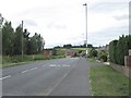
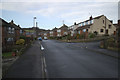
5

Batley Road - viewed from Lindale Mount
Image: © Betty Longbottom
Taken: 10 Sep 2013
0.11 miles
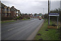
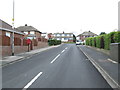
10
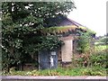
Water Meter House - Wrenthorpe Lane
Image: © Betty Longbottom
Taken: 4 Oct 2008
0.14 miles