
IMAGES TAKEN NEAR TO
Warwick Road, BATLEY, WF17 6AJ
Introduction
This page details the photographs taken nearby to Warwick Road, WF17 6AJ by members of the Geograph project.
The Geograph project started in 2005 with the aim of publishing, organising and preserving representative images for every square kilometre of Great Britain, Ireland and the Isle of Man.

There are currently over 7.5m images from over14,400 individuals and you can help contribute to the project by visiting https://www.geograph.org.uk
Image Map
Images are licensed for reuse under creativecommons.org/licenses/by-sa/2.0
Notes
- Clicking on the map will re-center to the selected point.
- The higher the marker number, the further away the image location is from the centre of the postcode.
Image Listing (104 Images Found)
Images are licensed for reuse under creativecommons.org/licenses/by-sa/2.0
Image
Details
Distance
2
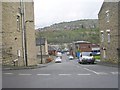
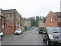
Warwick Road - viewed from Grafton Street
Image: © Betty Longbottom
Taken: 26 Apr 2010
0.01 miles
3
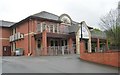
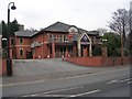
Crush Night Club - Bradford Road
This was formerly the Boulevard Diner.
Image: © Betty Longbottom
Taken: 26 Apr 2010
0.02 miles
6
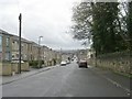
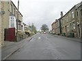
Warwick Road - viewed from Grafton Street
Image: © Betty Longbottom
Taken: 26 Apr 2010
0.05 miles
7
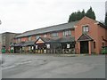
Manny's Golden Coffee Lounge - Bradford Road
Image: © Betty Longbottom
Taken: 26 Apr 2010
0.06 miles
9
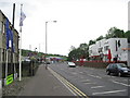
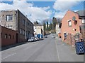
Batley's sunset strip
Bradford Road, Batley quiet by day, teems with clubbers at night. Brooklands bar on the left, Legends on the right, and the Frontier at the far end. Other bars/clubs also in the vicinity.
Image: © Oxana Maher
Taken: 24 Apr 2007
0.06 miles
10
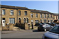
Warwick Road houses
Ordnance Survey documents indicate that in 1962 a benchmark levelled at 62.009m above Newlyn Datum was verified on the wall of No 77 at a hedge junction. It appears that the hedge (between Nos. 75 and 77) and wall have been removed
Image: © Roger Templeman
Taken: 19 Apr 2019
0.06 miles