IMAGES TAKEN NEAR TO
Benny Parr Close, BATLEY, WF17 0PW
Introduction
This page details the photographs taken nearby to Benny Parr Close, WF17 0PW by members of the Geograph project.
The Geograph project started in 2005 with the aim of publishing, organising and preserving representative images for every square kilometre of Great Britain, Ireland and the Isle of Man.

There are currently over 7.5m images from over14,400 individuals and you can help contribute to the project by visiting https://www.geograph.org.uk
Image Map
Images are licensed for reuse under creativecommons.org/licenses/by-sa/2.0
Notes
- Clicking on the map will re-center to the selected point.
- The higher the marker number, the further away the image location is from the centre of the postcode.
Image Listing (50 Images Found)
Images are licensed for reuse under creativecommons.org/licenses/by-sa/2.0
Image
Details
Distance
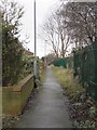
1
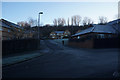
Benny Parr Close off Broomsdale Road, Lower Soothill
Image: © Ian S
Taken: 23 Jan 2019
0.04 miles
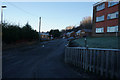
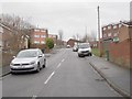
3
Sykes Close off Broomsdale Road, Lower Soothill
Image: © Ian S
Taken: 23 Jan 2019
0.06 miles
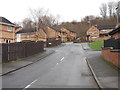
8
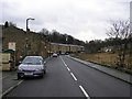
Lady Ann Road, Batley
Looking south west. The houses going off to the right are on Primrose Hill, which leads to Lady Ann Level Crossing.
Image: © Stephen Armstrong
Taken: 7 Dec 2009
0.11 miles
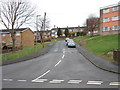
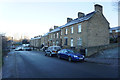
9
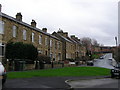
Terraced Houses, Lady Ann Road & Broomsdale Road, Batley
Viewed from Lady Ann Road looking up Broomsdale Road.
Image: © Stephen Armstrong
Taken: 7 Dec 2009
0.11 miles
10
Grace Leather Lane - Broomsdale Road
Image: © Betty Longbottom
Taken: 2 Jan 2013
0.11 miles