IMAGES TAKEN NEAR TO
Rooks Nest Road, WAKEFIELD, WF1 3EE
Introduction
This page details the photographs taken nearby to Rooks Nest Road, WF1 3EE by members of the Geograph project.
The Geograph project started in 2005 with the aim of publishing, organising and preserving representative images for every square kilometre of Great Britain, Ireland and the Isle of Man.

There are currently over 7.5m images from over14,400 individuals and you can help contribute to the project by visiting https://www.geograph.org.uk
Image Map
Images are licensed for reuse under creativecommons.org/licenses/by-sa/2.0
Notes
- Clicking on the map will re-center to the selected point.
- The higher the marker number, the further away the image location is from the centre of the postcode.
Image Listing (52 Images Found)
Images are licensed for reuse under creativecommons.org/licenses/by-sa/2.0
Image
Details
Distance
1
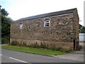
Rooks Nest House
This is all that remains of the original house, which was at one time used as a female lunatic asylum back in 1854.
Image: © Mike Kirby
Taken: 1 Aug 2008
0.03 miles
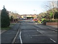
4
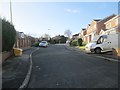
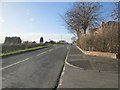
Rooks Nest Road - viewed from Mountbatten Grove
Image: © Betty Longbottom
Taken: 7 Jan 2014
0.07 miles
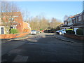
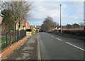
8
Mountbatten Grove - Rooks Nest Road
Image: © Betty Longbottom
Taken: 18 Feb 2009
0.08 miles
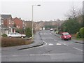
9
Rooks Nest Road - viewed from Mountbatten Grove
Image: © Betty Longbottom
Taken: 7 Jan 2014
0.10 miles
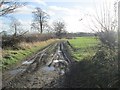
10
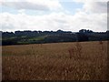
Ripening wheat
View over a wheatfield with Normanton golf club course in the background.
Image: © Mike Kirby
Taken: 1 Aug 2008
0.10 miles