IMAGES TAKEN NEAR TO
Aketon Road, CASTLEFORD, WF10 5DS
Introduction
This page details the photographs taken nearby to Aketon Road, WF10 5DS by members of the Geograph project.
The Geograph project started in 2005 with the aim of publishing, organising and preserving representative images for every square kilometre of Great Britain, Ireland and the Isle of Man.

There are currently over 7.5m images from over14,400 individuals and you can help contribute to the project by visiting https://www.geograph.org.uk
Image Map
Images are licensed for reuse under creativecommons.org/licenses/by-sa/2.0
Notes
- Clicking on the map will re-center to the selected point.
- The higher the marker number, the further away the image location is from the centre of the postcode.
Image Listing (50 Images Found)
Images are licensed for reuse under creativecommons.org/licenses/by-sa/2.0
Image
Details
Distance
5
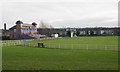
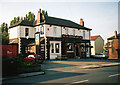
Castleford Cricket Club - Lumley Street
Image: © Betty Longbottom
Taken: 5 Dec 2007
0.13 miles
7
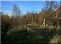
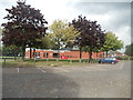
Cutsyke station (remains of)
The remains of the eastbound platform of Cutsyke station, opened by the Lancashire & Yorkshire Railway in 1849 (at that time called Castleford since it was meant to serve the town as an alternative to the North Eastern Railway's station of the same name) and closed in 1968 when the Leeds-Knottingley service was diverted via the current Castleford station. Trackbed on the left.
Image: © David Pickersgill
Taken: 16 Nov 2008
0.15 miles
8

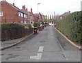
Castleford Cutsyke railway station (site), Yorkshire
Opened in 1860 by the Lancashire & Yorkshire Railway on the line from Methley to Pontefract, this station closed in 1968. View north west towards the platforms, remnants of which can still be found in the dense undergrowth.
Image: © Nigel Thompson
Taken: 19 May 2013
0.15 miles