IMAGES TAKEN NEAR TO
Thornhill Road, CASTLEFORD, WF10 4NJ
Introduction
This page details the photographs taken nearby to Thornhill Road, WF10 4NJ by members of the Geograph project.
The Geograph project started in 2005 with the aim of publishing, organising and preserving representative images for every square kilometre of Great Britain, Ireland and the Isle of Man.

There are currently over 7.5m images from over14,400 individuals and you can help contribute to the project by visiting https://www.geograph.org.uk
Image Map
Images are licensed for reuse under creativecommons.org/licenses/by-sa/2.0
Notes
- Clicking on the map will re-center to the selected point.
- The higher the marker number, the further away the image location is from the centre of the postcode.
Image Listing (46 Images Found)
Images are licensed for reuse under creativecommons.org/licenses/by-sa/2.0
Image
Details
Distance
7
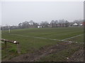
Glasshoughton Welfare Football Club Pitch - Leeds Road
Image: © Betty Longbottom
Taken: 27 Jan 2017
0.13 miles
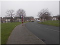
8
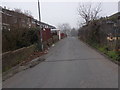
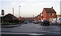
Joffre Avenue - looking towards Leeds Road
Image: © Betty Longbottom
Taken: 27 Jan 2017
0.13 miles
10
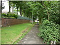
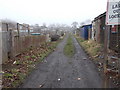
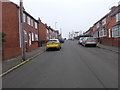
A walk from Glass Houghton #73
I went down that path, but it was the wrong way.
Image: © Ian S
Taken: 5 Aug 2010
0.14 miles