
IMAGES TAKEN NEAR TO
Dawtrie Street, CASTLEFORD, WF10 3NF
Introduction
This page details the photographs taken nearby to Dawtrie Street, WF10 3NF by members of the Geograph project.
The Geograph project started in 2005 with the aim of publishing, organising and preserving representative images for every square kilometre of Great Britain, Ireland and the Isle of Man.

There are currently over 7.5m images from over14,400 individuals and you can help contribute to the project by visiting https://www.geograph.org.uk
Image Map
Images are licensed for reuse under creativecommons.org/licenses/by-sa/2.0
Notes
- Clicking on the map will re-center to the selected point.
- The higher the marker number, the further away the image location is from the centre of the postcode.
Image Listing (18 Images Found)
Images are licensed for reuse under creativecommons.org/licenses/by-sa/2.0
Image
Details
Distance
1
Thirlmere Drive, Airedale, Castleford
Image: © Alex McGregor
Taken: 22 Nov 2010
0.07 miles
5
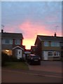
Red sky at night, shepherds' delight
Taken from Sussex Crescent, Castleford as the setting sun turns the sky to blood.
Image: © derek dye
Taken: 28 Aug 2011
0.16 miles
7
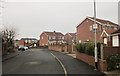
Coniston Drive, Townville
The winding road has cul-de-sacs on the right which back onto Park Plantation.
Image: © Derek Harper
Taken: 5 Jan 2014
0.17 miles
8
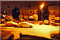
Night snowy street scene
Probably got hundreds of snow scenes today so here's one from tonight.
Image: © derek dye
Taken: 28 Feb 2018
0.18 miles
9
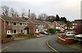
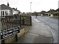
Sussex Crescent, Townville
The crescent is off Image], and backs onto Park Plantation.
Image: © Derek Harper
Taken: 5 Jan 2014
0.19 miles
10
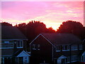
Sunrise over Fryston woods
Viewed from my bedroom window.
Image: © derek dye
Taken: 30 Jul 2021
0.20 miles