IMAGES TAKEN NEAR TO
Crewe Road, CASTLEFORD, WF10 3JT
Introduction
This page details the photographs taken nearby to Crewe Road, WF10 3JT by members of the Geograph project.
The Geograph project started in 2005 with the aim of publishing, organising and preserving representative images for every square kilometre of Great Britain, Ireland and the Isle of Man.

There are currently over 7.5m images from over14,400 individuals and you can help contribute to the project by visiting https://www.geograph.org.uk
Image Map
Images are licensed for reuse under creativecommons.org/licenses/by-sa/2.0
Notes
- Clicking on the map will re-center to the selected point.
- The higher the marker number, the further away the image location is from the centre of the postcode.
Image Listing (17 Images Found)
Images are licensed for reuse under creativecommons.org/licenses/by-sa/2.0
Image
Details
Distance
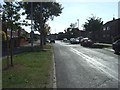
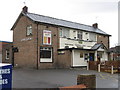
1
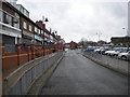
Thirlmere Drive, Airedale, Castleford
Image: © Alex McGregor
Taken: 22 Nov 2010
0.07 miles
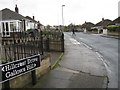
2
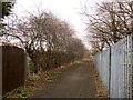
Gallows Hill
Pontefract bridleway 1 follows this track between Poplar Avenue and Hillcrest Drive.
Image: © Derek Harper
Taken: 5 Jan 2014
0.18 miles
3
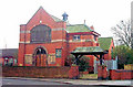
Airedale Methodist Church, off Fryston Road, Airedale
Image: © Bill Henderson
Taken: Unknown
0.19 miles
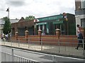
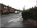
6
Bus turning circle, Airedale (Magnet)
A large turning circle, containing two bus stops, around the car park for Airedale district centre. Buses do not generally terminate here, most routes passing through the estate on their way to somewhere else.
Image: © Richard Vince
Taken: 28 Nov 2015
0.22 miles