IMAGES TAKEN NEAR TO
Grenfell Close, BOREHAMWOOD, WD6 5RJ
Introduction
This page details the photographs taken nearby to Grenfell Close, WD6 5RJ by members of the Geograph project.
The Geograph project started in 2005 with the aim of publishing, organising and preserving representative images for every square kilometre of Great Britain, Ireland and the Isle of Man.

There are currently over 7.5m images from over14,400 individuals and you can help contribute to the project by visiting https://www.geograph.org.uk
Image Map (Loading...)


Getting Data...Please wait
Leaflet Map data © OpenStreetMap
Images are licensed for reuse under creativecommons.org/licenses/by-sa/2.0
Notes
- Clicking on the map will re-center to the selected point.
- The higher the marker number, the further away the image location is from the centre of the postcode.
Image Listing (12 Images Found)
Images are licensed for reuse under creativecommons.org/licenses/by-sa/2.0
Image
Details
Distance
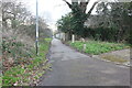
1
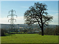
View towards Borehamwood
From a gateway off Well End Road.
Image: © Robin Webster
Taken: 2 Dec 2012
0.16 miles
5
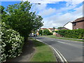
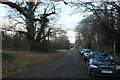
Looking along Studio Way
This is just past the Toby Carvery and the Travelodge.
Image: © Marathon
Taken: 25 May 2022
0.21 miles
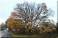
7
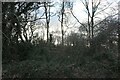
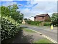
Large tree on Rowley Lane, Borehamwood
Image: © David Howard
Taken: 10 Feb 2022
0.23 miles
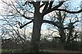
8
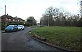
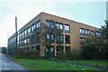
Small green on Rowley Lane, Borehamwood
Image: © David Howard
Taken: 10 Feb 2022
0.23 miles
9
Studio Way
This is just past the Toby Carvery and the Travelodge.
Image: © Marathon
Taken: 25 May 2022
0.23 miles