IMAGES TAKEN NEAR TO
Gillars Lane, ST. HELENS, WA10 5PU
Introduction
This page details the photographs taken nearby to Gillars Lane, WA10 5PU by members of the Geograph project.
The Geograph project started in 2005 with the aim of publishing, organising and preserving representative images for every square kilometre of Great Britain, Ireland and the Isle of Man.

There are currently over 7.5m images from over14,400 individuals and you can help contribute to the project by visiting https://www.geograph.org.uk
Image Map
Images are licensed for reuse under creativecommons.org/licenses/by-sa/2.0
Notes
- Clicking on the map will re-center to the selected point.
- The higher the marker number, the further away the image location is from the centre of the postcode.
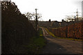
Image Listing (14 Images Found)
Images are licensed for reuse under creativecommons.org/licenses/by-sa/2.0
Image
Details
Distance
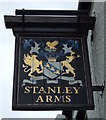
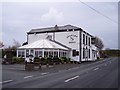
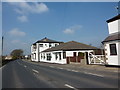
6
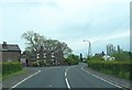
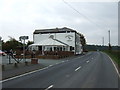
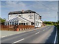
The Stanley Arms, Gillar's Lane, Prescot
The Stanley Arms and adjacent cottages in Gillar's Lane, Prescot, looking north towards the East Lancashire Road (A580)
Image: © Sue Adair
Taken: 25 Feb 2006
0.11 miles
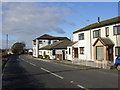
9

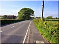
Poplar Farm, Gillar's Green
Poplar Farm, Gillar's Green, which stands at the junction of Gillar's Lane and Howard's Lane.
Image: © Sue Adair
Taken: 20 Sep 2008
0.15 miles