IMAGES TAKEN NEAR TO
Queensway, SUNBURY-ON-THAMES, TW16 6HB
Introduction
This page details the photographs taken nearby to Queensway, TW16 6HB by members of the Geograph project.
The Geograph project started in 2005 with the aim of publishing, organising and preserving representative images for every square kilometre of Great Britain, Ireland and the Isle of Man.

There are currently over 7.5m images from over14,400 individuals and you can help contribute to the project by visiting https://www.geograph.org.uk
Image Map
Images are licensed for reuse under creativecommons.org/licenses/by-sa/2.0
Notes
- Clicking on the map will re-center to the selected point.
- The higher the marker number, the further away the image location is from the centre of the postcode.
Image Listing (67 Images Found)
Images are licensed for reuse under creativecommons.org/licenses/by-sa/2.0
Image
Details
Distance
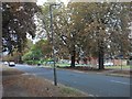
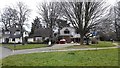
3
Silverdale Drive junction with Queensway
Image: © James Emmans
Taken: 28 Mar 2016
0.06 miles
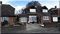
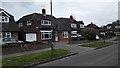
4
Queensway - House Redevelopment
Quite a few houses in Sunbury are being redeveloped with some being completely rebuilt.
Image: © James Emmans
Taken: 20 Mar 2016
0.07 miles
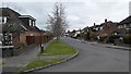
6
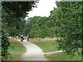
Path between The Avenue and Green Street
Image: © Mike Quinn
Taken: 11 Jul 2018
0.08 miles
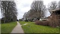
8
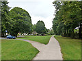
Path down a green corridor
Suspected to be the course of a major water main.
Image: © Robin Webster
Taken: 1 Sep 2012
0.09 miles
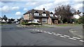
9
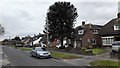
Vereker Drive
Houses with monkey puzzle tree.
Image: © James Emmans
Taken: 20 Mar 2016
0.09 miles