IMAGES TAKEN NEAR TO
Anderson Drive, ASHFORD, TW15 1BG
Introduction
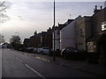
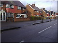
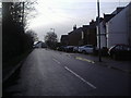
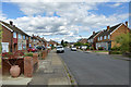
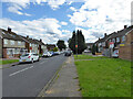
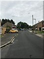
This page details the photographs taken nearby to Anderson Drive, TW15 1BG by members of the Geograph project.
The Geograph project started in 2005 with the aim of publishing, organising and preserving representative images for every square kilometre of Great Britain, Ireland and the Isle of Man.

There are currently over 7.5m images from over14,400 individuals and you can help contribute to the project by visiting https://www.geograph.org.uk
Image Map
Images are licensed for reuse under creativecommons.org/licenses/by-sa/2.0
Notes
- Clicking on the map will re-center to the selected point.
- The higher the marker number, the further away the image location is from the centre of the postcode.
Image Listing (8 Images Found)
Images are licensed for reuse under creativecommons.org/licenses/by-sa/2.0
Image
Details
Distance
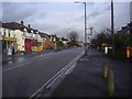
2

Shield Road Industrial Estate
The industrial units are popular with air cargo carriers, particularly the smaller specialist firms, because of easy access to Heathrow cargo terminal.
Image: © David Squire
Taken: 22 Apr 2006
0.05 miles