IMAGES TAKEN NEAR TO
Laburnum Road, REDCAR, TS10 3LP
Introduction
This page details the photographs taken nearby to Laburnum Road, TS10 3LP by members of the Geograph project.
The Geograph project started in 2005 with the aim of publishing, organising and preserving representative images for every square kilometre of Great Britain, Ireland and the Isle of Man.

There are currently over 7.5m images from over14,400 individuals and you can help contribute to the project by visiting https://www.geograph.org.uk
Image Map
Images are licensed for reuse under creativecommons.org/licenses/by-sa/2.0
Notes
- Clicking on the map will re-center to the selected point.
- The higher the marker number, the further away the image location is from the centre of the postcode.
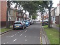
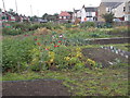
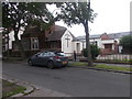
Image Listing (66 Images Found)
Images are licensed for reuse under creativecommons.org/licenses/by-sa/2.0
Image
Details
Distance
1
East Cleveland Baptist Church - Stanley Grove
Image: © Betty Longbottom
Taken: 25 Jul 2017
0.08 miles
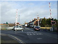
4
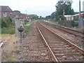
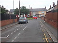
View from Level Crossing - Redcar Lane
Image: © Betty Longbottom
Taken: 25 Jul 2017
0.11 miles
7

Elizabeth II postbox on Redcar Lane, Redcar
Image: © JThomas
Taken: 23 Feb 2019
0.12 miles