
IMAGES TAKEN NEAR TO
High Lanes, NEWQUAY, TR8 4JJ
Introduction
This page details the photographs taken nearby to TR8 4JJ by members of the Geograph project.
The Geograph project started in 2005 with the aim of publishing, organising and preserving representative images for every square kilometre of Great Britain, Ireland and the Isle of Man.

There are currently over 7.5m images from over14,400 individuals and you can help contribute to the project by visiting https://www.geograph.org.uk
Image Map
Images are licensed for reuse under creativecommons.org/licenses/by-sa/2.0
Notes
- Clicking on the map will re-center to the selected point.
- The higher the marker number, the further away the image location is from the centre of the postcode.
Image Listing (6 Images Found)
Images are licensed for reuse under creativecommons.org/licenses/by-sa/2.0
Image
Details
Distance
1
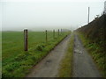
Track to Hendra Veor Farm
On a morning with Cornish sea mist.
Image: © Jonathan Billinger
Taken: 2 Apr 2008
0.06 miles
2
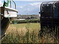
Towards St Mawgan
From the same spot as Image, a view between a boat and trailer across the same field.
Image: © Derek Harper
Taken: 14 Jul 2010
0.07 miles
3
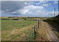
Track to Hendra Veor Farm
In more fortunate weather than Image, and revealing what lies beyond.The modern nearby building at the end of the track is Hendra Veor Farm, while the buildings across the valley are at Higher Trewince, with a tower and hangars at St Mawgan airfield beyond them.
Image: © Derek Harper
Taken: 14 Jul 2010
0.08 miles
4
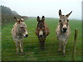
Three's company!
So why the long face?
Donkeys at Hendra Veor Farm.
I think they should be Compo, Foggy and Clegg.
Image: © Jonathan Billinger
Taken: 2 Apr 2008
0.11 miles
5
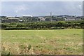
Towards St Mawgan
From the other side of the hedge to Image, and looking across the adjoining field.
Image: © Derek Harper
Taken: 14 Jul 2010
0.12 miles
6
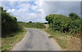
Lane near Treloy
The lane runs roughly parallel to, and north of, the A3059; the golf course at Treloy is between the two.
Image: © Derek Harper
Taken: 14 Jul 2010
0.15 miles