
IMAGES TAKEN NEAR TO
Knights Meadow, TRURO, TR3 6HU
Introduction
This page details the photographs taken nearby to Knights Meadow, TR3 6HU by members of the Geograph project.
The Geograph project started in 2005 with the aim of publishing, organising and preserving representative images for every square kilometre of Great Britain, Ireland and the Isle of Man.

There are currently over 7.5m images from over14,400 individuals and you can help contribute to the project by visiting https://www.geograph.org.uk
Image Map
Images are licensed for reuse under creativecommons.org/licenses/by-sa/2.0
Notes
- Clicking on the map will re-center to the selected point.
- The higher the marker number, the further away the image location is from the centre of the postcode.
Image Listing (11 Images Found)
Images are licensed for reuse under creativecommons.org/licenses/by-sa/2.0
Image
Details
Distance
1
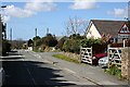
Blissoe Road, Carnon Downs
Carnon Downs consists mostly of bungalow and detached housing built in the latter half of the 20th century.
Image: © Tony Atkin
Taken: 8 Apr 2006
0.10 miles
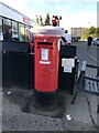
5
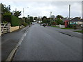
Forth Coth, Carnon Downs
Heading north east.
Image: © JThomas
Taken: 5 Nov 2014
0.19 miles
6
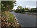
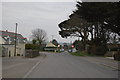
Minor road into Carnon Downs
Heading north east.
Image: © JThomas
Taken: 5 Nov 2014
0.19 miles
8
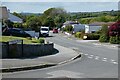
Valley Lane, Carnon Downs, Feock
Beyond the houses, the road continues as a byway to Quenchwell.
Image: © Andrew Smith
Taken: 14 May 2022
0.22 miles
9
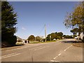
Forth Coth, Carnon Downs
The old A39 through the village, a wide road, but not wide enough for modern traffic
Image: © David Smith
Taken: 30 Sep 2015
0.23 miles
10
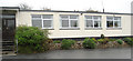
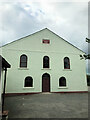
Carnon Downs Village Hall
The entrance to Carnon Downs Village Hall http://www.carnondownsvillagehall.org.uk
Image: © Carnon Downs Village Hall
Taken: 11 Nov 2007
0.24 miles