IMAGES TAKEN NEAR TO
Humphry Davy Lane, HAYLE, TR27 4DR
Introduction
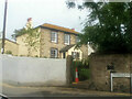
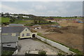
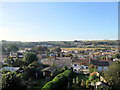
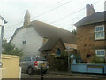
This page details the photographs taken nearby to Humphry Davy Lane, TR27 4DR by members of the Geograph project.
The Geograph project started in 2005 with the aim of publishing, organising and preserving representative images for every square kilometre of Great Britain, Ireland and the Isle of Man.

There are currently over 7.5m images from over14,400 individuals and you can help contribute to the project by visiting https://www.geograph.org.uk
Image Map
Images are licensed for reuse under creativecommons.org/licenses/by-sa/2.0
Notes
- Clicking on the map will re-center to the selected point.
- The higher the marker number, the further away the image location is from the centre of the postcode.
Image Listing (33 Images Found)
Images are licensed for reuse under creativecommons.org/licenses/by-sa/2.0
Image
Details
Distance
8
St John's Church Hall
The home of Heyl Town Band http://www.hayletownband.co.uk/about-us/
Image: © Paul Barnett
Taken: 1 Jan 2017
0.17 miles
10

Hayle Community School
The striking blue coloured glass front of an otherwise drab three story block is mirrored in the colour of the gates and fence although this does not show up well in the photograph.
Image: © Tony Atkin
Taken: 24 Sep 2005
0.18 miles