
IMAGES TAKEN NEAR TO
Godolphin Road, HELSTON, TR13 8QD
Introduction
This page details the photographs taken nearby to Godolphin Road, TR13 8QD by members of the Geograph project.
The Geograph project started in 2005 with the aim of publishing, organising and preserving representative images for every square kilometre of Great Britain, Ireland and the Isle of Man.

There are currently over 7.5m images from over14,400 individuals and you can help contribute to the project by visiting https://www.geograph.org.uk
Image Map
Images are licensed for reuse under creativecommons.org/licenses/by-sa/2.0
Notes
- Clicking on the map will re-center to the selected point.
- The higher the marker number, the further away the image location is from the centre of the postcode.
Image Listing (29 Images Found)
Images are licensed for reuse under creativecommons.org/licenses/by-sa/2.0
Image
Details
Distance
1
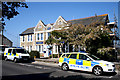
Helston: County Police headquarters, Godolphin Road
Image: © Dr Neil Clifton
Taken: 23 Apr 2010
0.01 miles
5
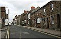
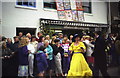
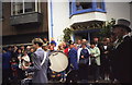
Godolphin Street, Helston
Named after a prominent local family who represented Helston in Parliament for many years.
Image: © Tony Atkin
Taken: 18 Feb 2006
0.13 miles
7
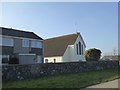
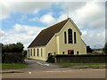
St Mary's Catholic Church, Helston
A modern church serving the east side of the town. The central light of the west window shows Mary
Image: © David Smith
Taken: 14 Mar 2016
0.17 miles
8
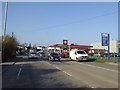
Texaco filling station by A394, Helston
Image: © David Smith
Taken: 14 Mar 2016
0.17 miles
9
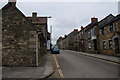
Wendron Street, Helston
Buildings at the top of the town all using the same stone.
Image: © Bill Boaden
Taken: 30 Jun 2014
0.17 miles
10
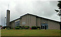
Church of Jesus Christ of Latter Day Saints
Image: © Paul Barnett
Taken: 28 Jul 2014
0.18 miles