
IMAGES TAKEN NEAR TO
Manaccan, HELSTON, TR12 6HY
Introduction
This page details the photographs taken nearby to TR12 6HY by members of the Geograph project.
The Geograph project started in 2005 with the aim of publishing, organising and preserving representative images for every square kilometre of Great Britain, Ireland and the Isle of Man.

There are currently over 7.5m images from over14,400 individuals and you can help contribute to the project by visiting https://www.geograph.org.uk
Image Map
Images are licensed for reuse under creativecommons.org/licenses/by-sa/2.0
Notes
- Clicking on the map will re-center to the selected point.
- The higher the marker number, the further away the image location is from the centre of the postcode.
Image Listing (7 Images Found)
Images are licensed for reuse under creativecommons.org/licenses/by-sa/2.0
Image
Details
Distance
1
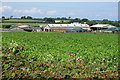
Choon Farm
As much as could be seen peering over the hedgerow. It is mainly a dairy farm so I imagine the crop in the foreground is for feed.
Image: © Bill Boaden
Taken: 1 Jul 2014
0.06 miles
2
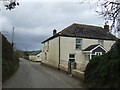
Choon Farm
On the Newtown to Manaccan road.
Image: © Jonathan Billinger
Taken: 14 Mar 2007
0.08 miles
3
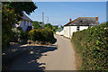
Lane past Choon Farm
As with many farms, there are a couple of cottages nearby too.
Image: © Bill Boaden
Taken: 1 Jul 2014
0.08 miles
4
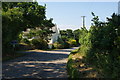
Lane past Crowns Farm
The farm is being advertised for sale.
Image: © Bill Boaden
Taken: 1 Jul 2014
0.13 miles
5
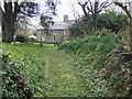
Tregithew
This fine stone farmhouse has an idyllic approach along its garden path.
Image: © Jonathan Billinger
Taken: 14 Mar 2007
0.22 miles
6
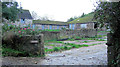
Tregithew Farm
This is part of a group of planned farm buildings associated with Tregithew Farmhouse, which is an unusually good 17th and 18th C house. These buildings comprise a barn, piggery and shelter shed. Built around the early-mid 19th C.
Image: © Stuart Logan
Taken: 11 Oct 2012
0.23 miles
7
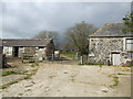
Tregithew Farm yard
Stone buildings typical of the area.
Image: © Jonathan Billinger
Taken: 14 Mar 2007
0.23 miles