IMAGES TAKEN NEAR TO
Dartington, TOTNES, TQ9 6DJ
Introduction
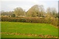
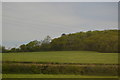
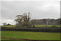
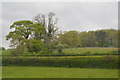
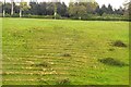
This page details the photographs taken nearby to TQ9 6DJ by members of the Geograph project.
The Geograph project started in 2005 with the aim of publishing, organising and preserving representative images for every square kilometre of Great Britain, Ireland and the Isle of Man.

There are currently over 7.5m images from over14,400 individuals and you can help contribute to the project by visiting https://www.geograph.org.uk
Image Map
Images are licensed for reuse under creativecommons.org/licenses/by-sa/2.0
Notes
- Clicking on the map will re-center to the selected point.
- The higher the marker number, the further away the image location is from the centre of the postcode.
Image Listing (36 Images Found)
Images are licensed for reuse under creativecommons.org/licenses/by-sa/2.0
Image
Details
Distance
7
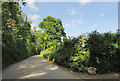
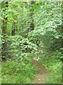
Lane to Copland
On the right, Lower Copland Lane follows a green lane / public access route towards Totnes. On the left is Peek Plantation.
Image: © Derek Harper
Taken: 15 May 2020
0.10 miles
8

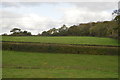
Lower Copeland Lane
The signpost at the entrance to this lane says it is unsuitable for vehicles but the evidence of the tracks suggest that does not stop some people. The centre track is presumably made by motorcycles.
Image: © Tony Atkin
Taken: 23 May 2009
0.10 miles