
IMAGES TAKEN NEAR TO
Plymouth Road, TOTNES, TQ9 5LU
Introduction
This page details the photographs taken nearby to Plymouth Road, TQ9 5LU by members of the Geograph project.
The Geograph project started in 2005 with the aim of publishing, organising and preserving representative images for every square kilometre of Great Britain, Ireland and the Isle of Man.

There are currently over 7.5m images from over14,400 individuals and you can help contribute to the project by visiting https://www.geograph.org.uk
Image Map
Images are licensed for reuse under creativecommons.org/licenses/by-sa/2.0
Notes
- Clicking on the map will re-center to the selected point.
- The higher the marker number, the further away the image location is from the centre of the postcode.
Image Listing (33 Images Found)
Images are licensed for reuse under creativecommons.org/licenses/by-sa/2.0
Image
Details
Distance
1

Broomborough House
A view from the same gate as Image] over a valley, with the Victorian farmhouse http://list.english-heritage.org.uk/resultsingle.aspx?uid=1236875&searchtype=mapsearch below.
Image: © Derek Harper
Taken: 26 Feb 2014
0.06 miles
2

Windmill Down west of Totnes
The upper part of the town west of the castle
Image: © David Smith
Taken: 20 Jul 2019
0.09 miles
3

On Harper's Hill
A misty day which has restricted the view.
Image: © Bill Boaden
Taken: 27 Jun 2011
0.12 miles
4
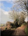
Harper's Hill
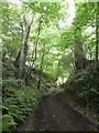
Totnes Bridleway 7 follows the green lane past two field entrances, a ramp up to the right, and the left offering a good view, as shown in Image and Image
Image: © Derek Harper
Taken: 26 Feb 2014
0.13 miles
6
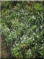
Snowdrops, Harper's Hill
Below the farm at Windmill Down.
Image: © Derek Harper
Taken: 26 Feb 2014
0.14 miles
7
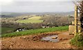
View from Harper's Hill
The view from the gate on the left of Image], with nearby housing around the Plymouth Road out of Totnes.
Image: © Derek Harper
Taken: 26 Feb 2014
0.14 miles
8
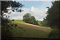
Field by Colwell Wood
A field to the west of the Woodland Trust property.
Image: © Derek Harper
Taken: 10 Aug 2021
0.16 miles
9
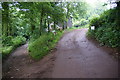
Tracks divide by Windmill Down Farm
The route to the left goes straight down Harper's Hill towards the centre of Totnes.
Image: © Bill Boaden
Taken: 27 Jun 2011
0.17 miles
10

Valley west of Totnes, from Green Lane
Image: © David Smith
Taken: 18 Jun 2019
0.17 miles