
IMAGES TAKEN NEAR TO
Clifton Bank, PAIGNTON, TQ3 3LL
Introduction
This page details the photographs taken nearby to Clifton Bank, TQ3 3LL by members of the Geograph project.
The Geograph project started in 2005 with the aim of publishing, organising and preserving representative images for every square kilometre of Great Britain, Ireland and the Isle of Man.

There are currently over 7.5m images from over14,400 individuals and you can help contribute to the project by visiting https://www.geograph.org.uk
Image Map
Images are licensed for reuse under creativecommons.org/licenses/by-sa/2.0
Notes
- Clicking on the map will re-center to the selected point.
- The higher the marker number, the further away the image location is from the centre of the postcode.
Image Listing (157 Images Found)
Images are licensed for reuse under creativecommons.org/licenses/by-sa/2.0
Image
Details
Distance
1
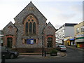
Paignton Baptist church
Situated at the junction of Winner Street and Clifton Street, to the west of the town centre.
Image: © Jonathan Billinger
Taken: 10 Dec 2008
0.07 miles
2
![Paignton buildings [22]](https://s0.geograph.org.uk/geophotos/06/19/72/6197296_b086920c_120x120.jpg)
Paignton buildings [22]
Numbers 77 to 81 Winner Street are shops with accommodation above. Built circa 1835 and listed, grade II, with details at: https://historicengland.org.uk/listing/the-list/list-entry/1195219 Winner Street was the principal medieval thoroughfare in Paignton, named after the bishops' vineyard.
Image: © Michael Dibb
Taken: 28 May 2019
0.08 miles
3
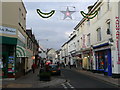
Winner Street, Paignton
Looking north at the junction with Clifton Street.
Image: © Jonathan Billinger
Taken: 10 Dec 2008
0.09 miles
4
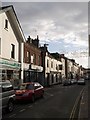
Winner Street, Paignton
The southern part of the street, from close to the junction with Palace Avenue. A little along on the left is the Oldenburg hotel.
Image: © Derek Harper
Taken: 22 Nov 2007
0.09 miles
5
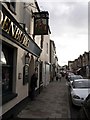
The Oldenburg, Paignton
A close-up of the old pub shown in Image Called the "Ship Inn" at least as far back as 1688, and then the "Hero of the Nile" in honour of Nelson from 1798-1808, it reverted to the "Ship", then became the "Globe Tavern" in 1833 (confusingly, there is a Globe Inn a few yards away). It was renamed the Oldenburg Inn "in recognition of Peter, Duke of Oldenburg's nomination to the throne of Denmark on 10th September 1850". The Duke was a frequent visitor to Torbay, and is pictured on the inn sign astride his own horse, which he brought with him. This information from Ernest E Britton's pamphlet "The Oldenburg Hotel: presiding over three centuries of Paignton: a new approach to local history" (G & M Churchill, 1990).
Image: © Derek Harper
Taken: 22 Nov 2007
0.09 miles
6
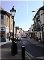
Winner Street, Paignton
This is the oldest thoroughfare in the town, once not far from the sea, which has now receded. This street has recently had a makeover.
Image: © Tom Jolliffe
Taken: 14 Mar 2007
0.09 miles
7
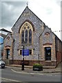
Baptist church
The Gothic style church was opened in May, 1886. Winner Street was the principal medieval thoroughfare in Paignton, named after the bishops' vineyard.
Image: © Michael Dibb
Taken: 28 May 2019
0.09 miles
8
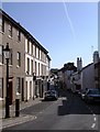
Winner Street, Paignton
This street is one of the oldest in Paignton, the main thoroughfare when the town was the most important in the area and the sea was much further inland that it is today.
Image: © Tom Jolliffe
Taken: 14 Mar 2007
0.09 miles
9
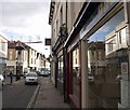
Reflection, Winner Street, Paignton
Shops reflected in windows at the junction of Winner Street with Palace Avenue; Christmas decorations above.
Image: © Derek Harper
Taken: 22 Nov 2007
0.09 miles
10
![Paignton buildings [23]](https://s2.geograph.org.uk/geophotos/06/19/72/6197298_6ca30f31_120x120.jpg)
Paignton buildings [23]
Numbers 107 and 109 Winner Street are two shops with accommodation above. Built circa 1850. Number 107 (left) has a 20th century shopfront and number 107 has an 1890s shopfront. Listed, grade II, with details at: https://historicengland.org.uk/listing/the-list/list-entry/1208527 Winner Street was the principal medieval thoroughfare in Paignton, named after the bishops' vineyard.
Image: © Michael Dibb
Taken: 28 May 2019
0.10 miles