
IMAGES TAKEN NEAR TO
Sherwell Hill, TORQUAY, TQ2 6LS
Introduction
This page details the photographs taken nearby to Sherwell Hill, TQ2 6LS by members of the Geograph project.
The Geograph project started in 2005 with the aim of publishing, organising and preserving representative images for every square kilometre of Great Britain, Ireland and the Isle of Man.

There are currently over 7.5m images from over14,400 individuals and you can help contribute to the project by visiting https://www.geograph.org.uk
Image Map
Images are licensed for reuse under creativecommons.org/licenses/by-sa/2.0
Notes
- Clicking on the map will re-center to the selected point.
- The higher the marker number, the further away the image location is from the centre of the postcode.
Image Listing (229 Images Found)
Images are licensed for reuse under creativecommons.org/licenses/by-sa/2.0
Image
Details
Distance
1
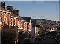
Sherwell Hill, Torquay
Approaching an easting gridline further down the steep hill shown in Image On the right are the distinctive chimneys seen in Image
Image: © Derek Harper
Taken: 15 Jan 2013
0.01 miles
2
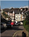
Sherwell Hill, Torquay
Seen from Ashfield Road.
Image: © Derek Harper
Taken: 24 Sep 2012
0.05 miles
3
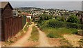
Back lane, Chelston
Taken a little further around the corner in Image
Image: © Derek Harper
Taken: 18 Jun 2014
0.05 miles
4
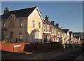
Sherwell Hill, Torquay
A steep plunge down into the Sherwell valley. Taken from a corner where the road name changes from Boundary Road.
Image: © Derek Harper
Taken: 15 Jan 2013
0.06 miles
5
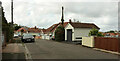
Burridge Road, Chelston
The image at Image] shows the same wall and fence, here on the right, from the other direction.
Image: © Derek Harper
Taken: 7 Sep 2022
0.06 miles
6
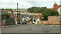
Burridge Avenue, Chelston
A cul-de-sac leaving Burridge Road. The wood is on the hillside beside Rowcroft.
Image: © Derek Harper
Taken: 7 Sep 2022
0.06 miles
7
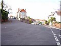
Junction of Marcombe Road and Burridge Road
A road junction in the Chelston area of Torquay.
Image: © Paul Hutchinson
Taken: 12 Nov 2008
0.06 miles
8
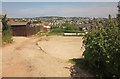
Back lane, Chelston
The alley that runs between the rears of Sherwell Hill (right) and Leys Road commands a fine view over Torquay.
Image: © Derek Harper
Taken: 18 Jun 2014
0.06 miles
9
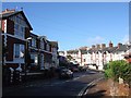
Ashfield Road & Sherwell Hill
The junction of two roads in Chelston, where most of the older houses and walls are built of the local red sandstone.
Image: © Derek Harper
Taken: 3 Mar 2007
0.06 miles
10
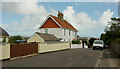
Burridge Road, Chelston
Approaching the junction with Ruckamore Road and Huxtable Hill.
Image: © Derek Harper
Taken: 7 Sep 2022
0.07 miles