
IMAGES TAKEN NEAR TO
Shelley Avenue, TORQUAY, TQ1 4PG
Introduction
This page details the photographs taken nearby to Shelley Avenue, TQ1 4PG by members of the Geograph project.
The Geograph project started in 2005 with the aim of publishing, organising and preserving representative images for every square kilometre of Great Britain, Ireland and the Isle of Man.

There are currently over 7.5m images from over14,400 individuals and you can help contribute to the project by visiting https://www.geograph.org.uk
Image Map
Images are licensed for reuse under creativecommons.org/licenses/by-sa/2.0
Notes
- Clicking on the map will re-center to the selected point.
- The higher the marker number, the further away the image location is from the centre of the postcode.
Image Listing (223 Images Found)
Images are licensed for reuse under creativecommons.org/licenses/by-sa/2.0
Image
Details
Distance
1
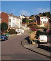
Shelley Avenue, Torquay
Part of a romantic poet estate on the slope of Westhill - there's also a Blake and a Byron. (Wordsworth is some way away by Queensway, where he has got mixed up with some Elizabethan figures - see Image) The left turn by the red car is Bradley Park Avenue.
Image: © Derek Harper
Taken: 14 Feb 2010
0.01 miles
2
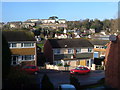
Shelley Avenue, Torquay
Semis on Shelley Avenue seen from Byron Road, with Tennyson Close off on the right. Behind these is Cuthbert Mayne School and playing field. On the hill beyond the Teignmouth Road, cathedral towns take over from poets for the local authority housing. On the summit is Lichfield Avenue.
Image: © Derek Harper
Taken: 3 Dec 2006
0.01 miles
3
Tree on Shelley Avenue
Frost on the twigs of a small tree by the foot of Bradley Park Road.
Image: © Derek Harper
Taken: 22 Dec 2010
0.03 miles
4
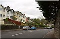
Westhill Road, Torquay
Further down the road shown in Image as it swings round a gentle double bend on its steep descent.
Image: © Derek Harper
Taken: 2 Nov 2011
0.06 miles
5
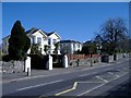
Westhill Road, Hele
The northern suburbs of Torquay.
Image: © Roger Cornfoot
Taken: 8 Mar 2007
0.06 miles
6
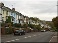
Westhill Road, Torquay
A steep hill and terraces of houses dropping down what used to be called Black's Hill.
Image: © Derek Harper
Taken: 2 Nov 2011
0.06 miles
7
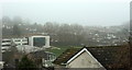
Cuthbert Mayne school in low cloud
See Image]; this looks more to the right from the same spot in a vain attempt to locate the spire of the church of Our Lady, Help of Christians and St Denis, hidden somewhere up there in cloud. The chapel at the secondary school is visible left of centre.
Image: © Derek Harper
Taken: 10 Apr 2018
0.07 miles
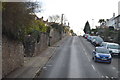
9

Cat on Shelley Avenue
Left to superintend some building materials on the suburban road, and certainly not inclined to be over-friendly.
Image: © Derek Harper
Taken: 14 Feb 2010
0.07 miles
10
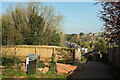
Back lane, Westhill Road, Torquay
At the top of the steep climb seen in Image
Image: © Derek Harper
Taken: 19 Apr 2021
0.08 miles