
IMAGES TAKEN NEAR TO
Headway Close, TEIGNMOUTH, TQ14 9BD
Introduction
This page details the photographs taken nearby to Headway Close, TQ14 9BD by members of the Geograph project.
The Geograph project started in 2005 with the aim of publishing, organising and preserving representative images for every square kilometre of Great Britain, Ireland and the Isle of Man.

There are currently over 7.5m images from over14,400 individuals and you can help contribute to the project by visiting https://www.geograph.org.uk
Image Map
Images are licensed for reuse under creativecommons.org/licenses/by-sa/2.0
Notes
- Clicking on the map will re-center to the selected point.
- The higher the marker number, the further away the image location is from the centre of the postcode.
Image Listing (84 Images Found)
Images are licensed for reuse under creativecommons.org/licenses/by-sa/2.0
Image
Details
Distance
1
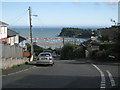
Mill Lane junction with Broadmeadow View, Teignmouth
Mill Lane drops steeply down. In view is the mouth of the River Teign with the Salty, nearest the camera, the Point, and beyond it the Ness, all in Image
Image: © Robin Stott
Taken: 19 Aug 2012
0.04 miles

3
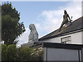
Garden ornaments, Devon style
House on Mill Lane, Teignmouth.
Image: © Stephen McCulloch
Taken: 1 Aug 2008
0.06 miles
4
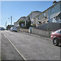
Looking up Hutchings Way, Teignmouth
Hutchings Way, which looks like a former council housing estate, is a steep loop off Mill Lane.
Image: © Robin Stott
Taken: 19 Aug 2012
0.06 miles
5
Typical top, Teignmouth pole, Hutchings Way
Image: © Robin Stott
Taken: 19 Aug 2012
0.06 miles
6
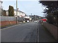
Hutchings Way from Mill Lane
A residential street which loops to the right and rejoins Mill Lane.
Image: © David Smith
Taken: 14 Feb 2012
0.07 miles
7
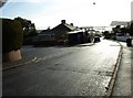
Junction of Mill Lane and Hutchings Way, with Teignmouth harbour in the distance
Image: © David Gearing
Taken: 3 Feb 2011
0.07 miles
8
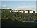
Western edge of Teignmouth: 4
In the valley is The Cabin SureStart centre Image Broadmeadow Lane runs behind it, becoming a public footpath to Bishopsteignton Image On the hillside below the houses and blocks of flats in Broadmeadow View, scrub woodland looks like de facto public open space. Mill Lane extends along the ridge, left, and out of sight beyond it more estates scale the hills. The view is from The Lea near the southern edge of the square. It continues to the right in Image
Image: © Robin Stott
Taken: 29 Sep 2010
0.07 miles
9
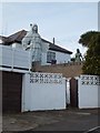
Statues in a garden in Mill Lane
The statue on the left carries a tablet reading: "Your honesty and self-respect contribute to safe and happy environments". The mermaid on the right has been moved since Image was taken
Image: © David Smith
Taken: 14 Feb 2012
0.08 miles
10
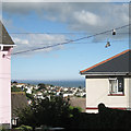
View from Hutchings Way, Teignmouth
A sea view over the rooftops is framed by houses and wires.
Image: © Robin Stott
Taken: 19 Aug 2012
0.08 miles