IMAGES TAKEN NEAR TO
Pembury Road, TONBRIDGE, TN9 2JQ
Introduction
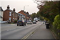
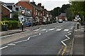
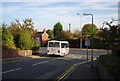
This page details the photographs taken nearby to Pembury Road, TN9 2JQ by members of the Geograph project.
The Geograph project started in 2005 with the aim of publishing, organising and preserving representative images for every square kilometre of Great Britain, Ireland and the Isle of Man.

There are currently over 7.5m images from over14,400 individuals and you can help contribute to the project by visiting https://www.geograph.org.uk
Image Map
Images are licensed for reuse under creativecommons.org/licenses/by-sa/2.0
Notes
- Clicking on the map will re-center to the selected point.
- The higher the marker number, the further away the image location is from the centre of the postcode.
Image Listing (483 Images Found)
Images are licensed for reuse under creativecommons.org/licenses/by-sa/2.0
Image
Details
Distance
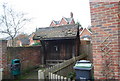
2
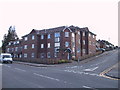
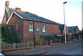
New Flats on Pembury Rd
These flats were built on the site of a former petrol station that had been closed for several years. A classic brownfield site.
Image: © N Chadwick
Taken: 26 Mar 2004
0.01 miles