IMAGES TAKEN NEAR TO
Priory Street, TONBRIDGE, TN9 2AP
Introduction
This page details the photographs taken nearby to Priory Street, TN9 2AP by members of the Geograph project.
The Geograph project started in 2005 with the aim of publishing, organising and preserving representative images for every square kilometre of Great Britain, Ireland and the Isle of Man.

There are currently over 7.5m images from over14,400 individuals and you can help contribute to the project by visiting https://www.geograph.org.uk
Image Map
Images are licensed for reuse under creativecommons.org/licenses/by-sa/2.0
Notes
- Clicking on the map will re-center to the selected point.
- The higher the marker number, the further away the image location is from the centre of the postcode.
Image Listing (911 Images Found)
Images are licensed for reuse under creativecommons.org/licenses/by-sa/2.0
Image
Details
Distance
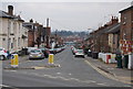
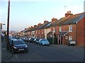
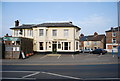
2
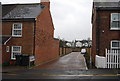
Parsons Place off Priory St
A new infill development.
Image: © N Chadwick
Taken: 25 Mar 2010
0.01 miles
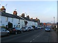
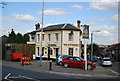
10
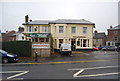
The Somerhill.
Roadside inn, in Tonbridge. Named after the nearby rail tunnel
Image: © N Chadwick
Taken: 3 Nov 2008
0.04 miles