IMAGES TAKEN NEAR TO
Rohan Ascent, TN40 2FZ
Introduction
This page details the photographs taken nearby to Rohan Ascent, TN40 2FZ by members of the Geograph project.
The Geograph project started in 2005 with the aim of publishing, organising and preserving representative images for every square kilometre of Great Britain, Ireland and the Isle of Man.

There are currently over 7.5m images from over14,400 individuals and you can help contribute to the project by visiting https://www.geograph.org.uk
Image Map
Images are licensed for reuse under creativecommons.org/licenses/by-sa/2.0
Notes
- Clicking on the map will re-center to the selected point.
- The higher the marker number, the further away the image location is from the centre of the postcode.
Image Listing (20 Images Found)
Images are licensed for reuse under creativecommons.org/licenses/by-sa/2.0
Image
Details
Distance
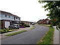
1
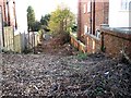
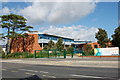
Entrance to development site, Dorset Road
Entrance to a brownfield land housing development site behind 120-122 Dorset Road, Bexhill.
Image: © Patrick Roper
Taken: 9 Dec 2011
0.06 miles
6
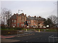
Old Nazareth House Bexhill-on-Sea East Sussex
Old Nazareth House used to be a convent & orphanage then a school. It has now been turned into residential homes. The chapel part of the complex (the part that the cross can be seen on) is being kept as a lounge for the residents. Its name has now been changed to St James Place.
Image: © Janet Richardson
Taken: 13 Feb 2006
0.14 miles
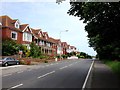
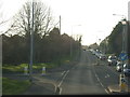
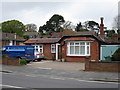
8
Bus Shelter, De La Warr Road, Bexhill-on-Sea
Image: © Bill Johnson
Taken: 10 Feb 2008
0.15 miles
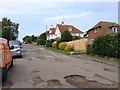
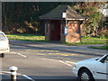
10
Decapitated house, De La Warr Road
Image: © Oast House Archive
Taken: 25 Apr 2015
0.17 miles