IMAGES TAKEN NEAR TO
Old London Road, HASTINGS, TN35 5NB
Introduction
This page details the photographs taken nearby to Old London Road, TN35 5NB by members of the Geograph project.
The Geograph project started in 2005 with the aim of publishing, organising and preserving representative images for every square kilometre of Great Britain, Ireland and the Isle of Man.

There are currently over 7.5m images from over14,400 individuals and you can help contribute to the project by visiting https://www.geograph.org.uk
Image Map (Loading...)


Getting Data...Please wait
Leaflet Map data © OpenStreetMap
Images are licensed for reuse under creativecommons.org/licenses/by-sa/2.0
Notes
- Clicking on the map will re-center to the selected point.
- The higher the marker number, the further away the image location is from the centre of the postcode.
Image Listing (261 Images Found)
Images are licensed for reuse under creativecommons.org/licenses/by-sa/2.0
Image
Details
Distance
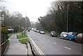
4

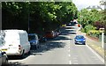
Crowds on Old London Road
The Olympic torch Relay has just passed.
Image: © Oast House Archive
Taken: 18 Jul 2012
0.05 miles
6
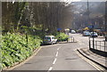
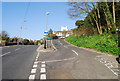
The junction of Barley Lane and Harold Rd
Image: © N Chadwick
Taken: 17 Apr 2010
0.05 miles
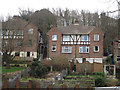
9
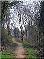
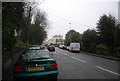
Footpath from Barley Lane
Through woodland between Harold Road and High Wickham. The footpath heads to Tackleway.
Image: © Oast House Archive
Taken: 23 Mar 2012
0.06 miles