IMAGES TAKEN NEAR TO
Moor Lane, ASHFORD, TN26 2BH
Introduction
This page details the photographs taken nearby to Moor Lane, TN26 2BH by members of the Geograph project.
The Geograph project started in 2005 with the aim of publishing, organising and preserving representative images for every square kilometre of Great Britain, Ireland and the Isle of Man.

There are currently over 7.5m images from over14,400 individuals and you can help contribute to the project by visiting https://www.geograph.org.uk
Image Map
Images are licensed for reuse under creativecommons.org/licenses/by-sa/2.0
Notes
- Clicking on the map will re-center to the selected point.
- The higher the marker number, the further away the image location is from the centre of the postcode.
Image Listing (30 Images Found)
Images are licensed for reuse under creativecommons.org/licenses/by-sa/2.0
Image
Details
Distance
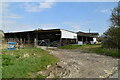
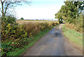
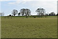
8
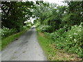
Moor Lane
Moor Lane winds across Shirley Moor to eventually meet the B2067 between Woodchurch and Tenterden. This is just past Hole Farm.
Image: © Marathon
Taken: 12 Jun 2016
0.10 miles
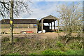
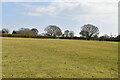
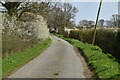
9
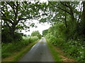
Moor Lane
Moor Lane winds across Shirley Moor to eventually meet the B2067 between Woodchurch and Tenterden. This is just past Hole Farm.
Image: © Marathon
Taken: 12 Jun 2016
0.10 miles