IMAGES TAKEN NEAR TO
Sandhurst Road, TUNBRIDGE WELLS, TN2 3JY
Introduction
This page details the photographs taken nearby to Sandhurst Road, TN2 3JY by members of the Geograph project.
The Geograph project started in 2005 with the aim of publishing, organising and preserving representative images for every square kilometre of Great Britain, Ireland and the Isle of Man.

There are currently over 7.5m images from over14,400 individuals and you can help contribute to the project by visiting https://www.geograph.org.uk
Image Map
Images are licensed for reuse under creativecommons.org/licenses/by-sa/2.0
Notes
- Clicking on the map will re-center to the selected point.
- The higher the marker number, the further away the image location is from the centre of the postcode.
Image Listing (217 Images Found)
Images are licensed for reuse under creativecommons.org/licenses/by-sa/2.0
Image
Details
Distance
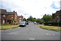
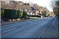
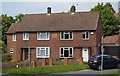
2
Corner of Sherwood Rd
The date stone indicates the age of this estate.
Image: © N Chadwick
Taken: 18 Mar 2017
0.00 miles
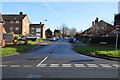
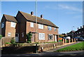
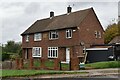
3
Built in 1951
The date stone on this house indicates the date of building The Sherwood Estate.
Image: © N Chadwick
Taken: 8 Jun 2013
0.01 miles
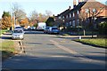
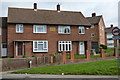
4
House on Sherwood Rd
The date on the house is the age of the estate.
Image: © N Chadwick
Taken: 29 May 2016
0.01 miles
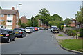
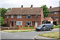
5
House, Corner of Sherwood Rd
The datestone of 1951 on this house, dates the building of the Sherwood estate.
Image: © N Chadwick
Taken: 11 Nov 2020
0.01 miles