IMAGES TAKEN NEAR TO
Waldron, HEATHFIELD, TN21 0SA
Introduction
This page details the photographs taken nearby to TN21 0SA by members of the Geograph project.
The Geograph project started in 2005 with the aim of publishing, organising and preserving representative images for every square kilometre of Great Britain, Ireland and the Isle of Man.

There are currently over 7.5m images from over14,400 individuals and you can help contribute to the project by visiting https://www.geograph.org.uk
Image Map (Loading...)


Getting Data...Please wait
Leaflet Map data © OpenStreetMap
Images are licensed for reuse under creativecommons.org/licenses/by-sa/2.0
Notes
- Clicking on the map will re-center to the selected point.
- The higher the marker number, the further away the image location is from the centre of the postcode.
Image Listing (26 Images Found)
Images are licensed for reuse under creativecommons.org/licenses/by-sa/2.0
Image
Details
Distance
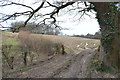
1
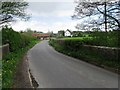
Unnamed Lane past Tanyard Farm
Towards Waldron.
Image: © Julian P Guffogg
Taken: 2 Mar 2013
0.01 miles
5
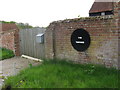
The Tanyard nameplate on property at Lions Green
Image: © Dave Spicer
Taken: 3 May 2010
0.04 miles
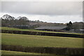
9
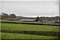
Rocky Field
The name of the field according to Waldron's 1841 tithe map bounded by Tanyard Hill to the south.
Image: © Simon Carey
Taken: 17 Dec 2022
0.10 miles