IMAGES TAKEN NEAR TO
Waldron, HEATHFIELD, TN21 0RS
Introduction
This page details the photographs taken nearby to TN21 0RS by members of the Geograph project.
The Geograph project started in 2005 with the aim of publishing, organising and preserving representative images for every square kilometre of Great Britain, Ireland and the Isle of Man.

There are currently over 7.5m images from over14,400 individuals and you can help contribute to the project by visiting https://www.geograph.org.uk
Image Map
Images are licensed for reuse under creativecommons.org/licenses/by-sa/2.0
Notes
- Clicking on the map will re-center to the selected point.
- The higher the marker number, the further away the image location is from the centre of the postcode.
Image Listing (40 Images Found)
Images are licensed for reuse under creativecommons.org/licenses/by-sa/2.0
Image
Details
Distance
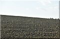
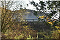
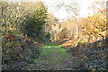
2
Hawkhurst Lane
Near Silveroaks farm.
Image: © Julian P Guffogg
Taken: 13 Jan 2013
0.04 miles
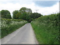
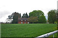
5
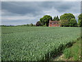
Crop field off Hawkhurst Lane
Farmhouse at Silveroaks Farm seen ahead.
Image: © Oast House Archive
Taken: 20 May 2011
0.07 miles
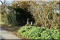
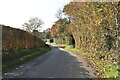
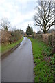
8
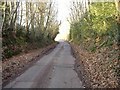
Hawkhurst Lane
The view looking down Hawkhurst lane from Hangman's corner towards Silveroaks Farm.
Image: © Chris Dumper
Taken: 29 Dec 2008
0.11 miles