IMAGES TAKEN NEAR TO
Castle Terrace, Cranbrook Road, CRANBROOK, TN18 4BQ
Introduction
This page details the photographs taken nearby to Castle Terrace, Cranbrook Road, TN18 4BQ by members of the Geograph project.
The Geograph project started in 2005 with the aim of publishing, organising and preserving representative images for every square kilometre of Great Britain, Ireland and the Isle of Man.

There are currently over 7.5m images from over14,400 individuals and you can help contribute to the project by visiting https://www.geograph.org.uk
Image Map
Images are licensed for reuse under creativecommons.org/licenses/by-sa/2.0
Notes
- Clicking on the map will re-center to the selected point.
- The higher the marker number, the further away the image location is from the centre of the postcode.
Image Listing (16 Images Found)
Images are licensed for reuse under creativecommons.org/licenses/by-sa/2.0
Image
Details
Distance

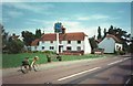
6
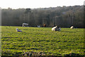
Field of Sheep
Off Ockley Lane byway.
Image: © Oast House Archive
Taken: 5 Apr 2007
0.17 miles
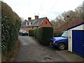
7
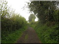
Ockley Lane (2)
This track/byway leads from Ockley Lane in Hawkhurst, towards Mill Farm and then onwards to Heartenoak Road.
Image: © David Anstiss
Taken: 9 May 2010
0.18 miles
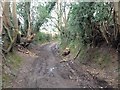
8
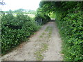
Ockley Lane
Ockley Lane is a byway leading from Hawkhurst to Heartenoak Road. This is the lowest part of the track where it has just crossed a stream.
Image: © Marathon
Taken: 29 Jun 2013
0.19 miles
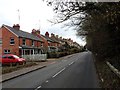
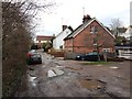
9
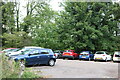
Car park on Cranbrook Road, Gill's Green
Image: © David Howard
Taken: 28 Aug 2022
0.20 miles