IMAGES TAKEN NEAR TO
Orpington By Pass, SEVENOAKS, TN14 7AQ
Introduction
This page details the photographs taken nearby to Orpington By Pass, TN14 7AQ by members of the Geograph project.
The Geograph project started in 2005 with the aim of publishing, organising and preserving representative images for every square kilometre of Great Britain, Ireland and the Isle of Man.

There are currently over 7.5m images from over14,400 individuals and you can help contribute to the project by visiting https://www.geograph.org.uk
Image Map
Images are licensed for reuse under creativecommons.org/licenses/by-sa/2.0
Notes
- Clicking on the map will re-center to the selected point.
- The higher the marker number, the further away the image location is from the centre of the postcode.
Image Listing (34 Images Found)
Images are licensed for reuse under creativecommons.org/licenses/by-sa/2.0
Image
Details
Distance
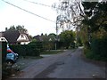
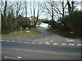
3
Highlands Road
A footpath leads along this road towards Barnett's Wood, near the M25 Motorway. Jenkin's Neck Wood is on the right, this is MOD land.
Image: © David Anstiss
Taken: 30 May 2009
0.10 miles
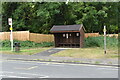
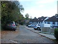
6
Former Car Dealer, Badgers Mount, Kent
Formerly Fox's of Badgers Mount
Image: © Stacey Harris
Taken: 24 Jan 2009
0.12 miles
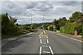
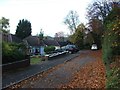
9
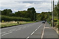
The A224 at the corner of Badger's Road
Image: © David Howard
Taken: 30 Sep 2012
0.14 miles