IMAGES TAKEN NEAR TO
Wickings Close, TONBRIDGE, TN12 0FR
Introduction
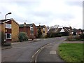
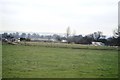
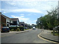
This page details the photographs taken nearby to Wickings Close, TN12 0FR by members of the Geograph project.
The Geograph project started in 2005 with the aim of publishing, organising and preserving representative images for every square kilometre of Great Britain, Ireland and the Isle of Man.

There are currently over 7.5m images from over14,400 individuals and you can help contribute to the project by visiting https://www.geograph.org.uk
Image Map
Images are licensed for reuse under creativecommons.org/licenses/by-sa/2.0
Notes
- Clicking on the map will re-center to the selected point.
- The higher the marker number, the further away the image location is from the centre of the postcode.
Image Listing (61 Images Found)
Images are licensed for reuse under creativecommons.org/licenses/by-sa/2.0
Image
Details
Distance
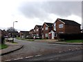
3
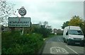
Entrance to Staplehurst
Headcorn Road with 30mph sign and markings on road adjacent to a small pond on the right.
Image: © Clint Mann
Taken: 29 Oct 2015
0.14 miles

9
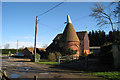
Fishers Oast, Fishers Road, Staplehurst, Kent
Image: © Oast House Archive
Taken: 4 Feb 2008
0.18 miles