IMAGES TAKEN NEAR TO
Orchard Drive, TONBRIDGE, TN10 4LT
Introduction
This page details the photographs taken nearby to Orchard Drive, TN10 4LT by members of the Geograph project.
The Geograph project started in 2005 with the aim of publishing, organising and preserving representative images for every square kilometre of Great Britain, Ireland and the Isle of Man.

There are currently over 7.5m images from over14,400 individuals and you can help contribute to the project by visiting https://www.geograph.org.uk
Image Map
Images are licensed for reuse under creativecommons.org/licenses/by-sa/2.0
Notes
- Clicking on the map will re-center to the selected point.
- The higher the marker number, the further away the image location is from the centre of the postcode.
Image Listing (38 Images Found)
Images are licensed for reuse under creativecommons.org/licenses/by-sa/2.0
Image
Details
Distance
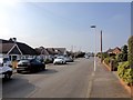
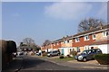
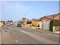
3
Hadlow Road looking towards Valley Forge Close
Image: © David Howard
Taken: 22 May 2016
0.08 miles
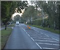
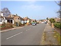
6
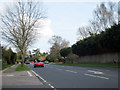
Hadlow Road, Tonbridge
Towards Hadlow.
Image: © Oast House Archive
Taken: 5 Apr 2009
0.10 miles