IMAGES TAKEN NEAR TO
Moreton Wood, MARKET DRAYTON, TF9 3SF
Introduction
This page details the photographs taken nearby to TF9 3SF by members of the Geograph project.
The Geograph project started in 2005 with the aim of publishing, organising and preserving representative images for every square kilometre of Great Britain, Ireland and the Isle of Man.

There are currently over 7.5m images from over14,400 individuals and you can help contribute to the project by visiting https://www.geograph.org.uk
Image Map
Images are licensed for reuse under creativecommons.org/licenses/by-sa/2.0
Notes
- Clicking on the map will re-center to the selected point.
- The higher the marker number, the further away the image location is from the centre of the postcode.
Image Listing (8 Images Found)
Images are licensed for reuse under creativecommons.org/licenses/by-sa/2.0
Image
Details
Distance
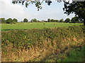
1
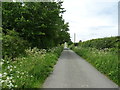
Lane, Moretonwood
Heads west towards the A41.
Image: © JThomas
Taken: 1 Jun 2019
0.03 miles
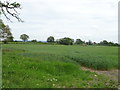
3
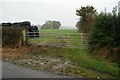
Gate into Bridle Path
Another wet day out Geographing.
Image: © Paul Sumner
Taken: 14 Oct 2007
0.16 miles
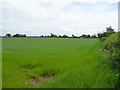
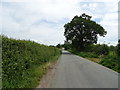
6
Crop field near Whitegates Farm
Off Bletchley Road.
Image: © JThomas
Taken: 1 Jun 2019
0.19 miles
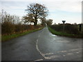
7
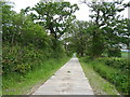
Track to Whitegates Farm
Concrete track off Whitegates Farm.
Image: © JThomas
Taken: 1 Jun 2019
0.21 miles
8
Cattle in Field at Whitegates Farm
Cattle grazing in the afternoon sun
Image: © Peter Fleming
Taken: 12 Sep 2007
0.22 miles