IMAGES TAKEN NEAR TO
Wood Lane, MARKET DRAYTON, TF9 3NZ
Introduction
This page details the photographs taken nearby to Wood Lane, TF9 3NZ by members of the Geograph project.
The Geograph project started in 2005 with the aim of publishing, organising and preserving representative images for every square kilometre of Great Britain, Ireland and the Isle of Man.

There are currently over 7.5m images from over14,400 individuals and you can help contribute to the project by visiting https://www.geograph.org.uk
Image Map (6 Images)


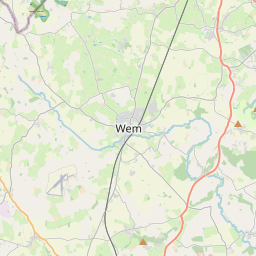
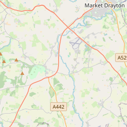
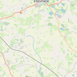
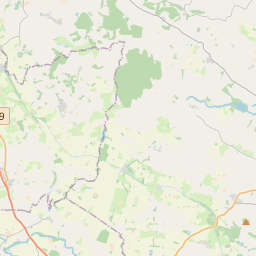
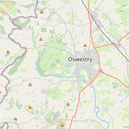
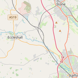

Leaflet Map data © OpenStreetMap
Images are licensed for reuse under creativecommons.org/licenses/by-sa/2.0
Notes
- Clicking on the map will re-center to the selected point.
- The higher the marker number, the further away the image location is from the centre of the postcode.
Image Listing (6 Images Found)
Images are licensed for reuse under creativecommons.org/licenses/by-sa/2.0
Image
Details
Distance
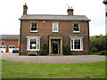
1

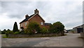
Drayton Fields.
Drayton Fields, built in 1840 as a farmhouse.Extended and renovated in recent
years,it is a property of great character.
Image: © Paul Beaman
Taken: 23 May 2007
0.17 miles
2
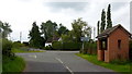
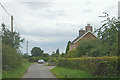
Approaching Wollerton crossroads
On Wood Lane, heading south.
Image: © Jonathan Billinger
Taken: 9 Sep 2015
0.17 miles
3
Drayton Fields.
Drayton Fields,at Wollerton.
Image: © Paul Beaman
Taken: 23 May 2007
0.17 miles
5
Woodlands Farm
By Wood Lane near Wollerton.
Image: © Jonathan Billinger
Taken: 9 Sep 2015
0.21 miles
6
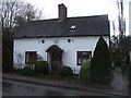
Rose Cottage, Wollerton
The plaque bears its name and the date 1754
Image: © John Lord
Taken: 22 Mar 2010
0.22 miles