IMAGES TAKEN NEAR TO
Sixth Avenue, TELFORD, TF2 0AX
Introduction
This page details the photographs taken nearby to Sixth Avenue, TF2 0AX by members of the Geograph project.
The Geograph project started in 2005 with the aim of publishing, organising and preserving representative images for every square kilometre of Great Britain, Ireland and the Isle of Man.

There are currently over 7.5m images from over14,400 individuals and you can help contribute to the project by visiting https://www.geograph.org.uk
Image Map
Images are licensed for reuse under creativecommons.org/licenses/by-sa/2.0
Notes
- Clicking on the map will re-center to the selected point.
- The higher the marker number, the further away the image location is from the centre of the postcode.
Image Listing (43 Images Found)
Images are licensed for reuse under creativecommons.org/licenses/by-sa/2.0
Image
Details
Distance
1
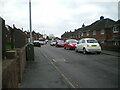
Looking along Sixth Avenue on Ketley Bank
In the middle of the Ketley Bank housing. The black Mondeo parked 40 yards away on the left was lucky not to lose a wing mirror as I squeezed past; it's a good job I'm fairly slim, as he'd not left much space for anyone to use the footpath properly.
Image: © Richard Law
Taken: 27 Nov 2021
0.03 miles
2
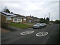
Yates Way on Ketley Bank
Bungalows and housing (built in the early 1970s, at a guess) on the north side of the M54 motorway.
Image: © Richard Law
Taken: 27 Nov 2021
0.04 miles
3
The junction of Fourth Avenue with Sixth Avenue
Image: © Richard Law
Taken: 27 Nov 2021
0.05 miles
4
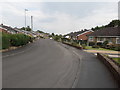
Yates Way, Ketley Bank
Bungalows along Yates Way in Ketley Bank, an otherwise quiet residential road with the noise of the M54 just behind the trees on the right.
Image: © Richard Law
Taken: 15 Jun 2020
0.05 miles
5
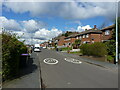
Looking west along Fifth Avenue
Probably not the one you're thinking of; this is the REALLY famous Fifth Avenue in Ketley Bank!
Image: © Richard Law
Taken: 8 Apr 2022
0.06 miles
6
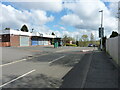
Small parade of shops on Fourth Avenue
The convenience store at the far end (just to the left of the green bus-stop shelter) was open when I walked past; all the rest appear to be closed on a Friday morning.
Image: © Richard Law
Taken: 8 Apr 2022
0.07 miles
8
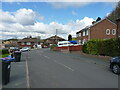
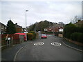
At the end of Fifth Avenue
Here the Fifth Avenue joins Grange Road.
Image: © Richard Law
Taken: 8 Apr 2022
0.10 miles
9
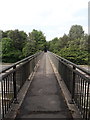
Footbridge across the M54
The same bridge that was pictured 25 years ago in Image, but looking in the opposite direction. The view in that older photo of the units under construction has changed to the extent that trees now pretty much obscure much of what was being built, the main part of which is now a Sainsbury's store.
Image: © Richard Law
Taken: 15 Jun 2020
0.11 miles