
IMAGES TAKEN NEAR TO
Woodhouse Fields, MUCH WENLOCK, TF13 6QL
Introduction
This page details the photographs taken nearby to Woodhouse Fields, TF13 6QL by members of the Geograph project.
The Geograph project started in 2005 with the aim of publishing, organising and preserving representative images for every square kilometre of Great Britain, Ireland and the Isle of Man.

There are currently over 7.5m images from over14,400 individuals and you can help contribute to the project by visiting https://www.geograph.org.uk
Image Map
Images are licensed for reuse under creativecommons.org/licenses/by-sa/2.0
Notes
- Clicking on the map will re-center to the selected point.
- The higher the marker number, the further away the image location is from the centre of the postcode.
Image Listing (10 Images Found)
Images are licensed for reuse under creativecommons.org/licenses/by-sa/2.0
Image
Details
Distance
4
Track to Butcher's Coppice and The Pheasantrey
The track leads to a small cottage in the woods just northeast of here.
Image: © Richard Law
Taken: 17 Sep 2016
0.21 miles
5
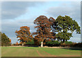
Crop Field and Trees, near Bourton, Shropshire
Image: © Roger D Kidd
Taken: 2 Nov 2007
0.22 miles
6
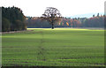
Crop Field and Woodland, near Bourton, Shropshire
The crop is germinating well, while the public bridleway, shows signs of only two, maybe three horses (plus me) crossing the field since the crop was planted. Reference to the satellite image with Googlemaps confirms that this bridleway is rarely used.
Image: © Roger D Kidd
Taken: 2 Nov 2007
0.22 miles
7
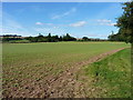
A bridleway, in theory
No sign of a usable path across this field, but the headland/margin has been left unplanted and riders are presumably expected to use that instead. To be fair, it works just as well.
Image: © Richard Law
Taken: 17 Sep 2016
0.23 miles
8
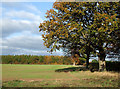
Cropfield and Woodland near Bourton, Shropshire
Image: © Roger D Kidd
Taken: 2 Nov 2007
0.23 miles
9
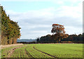
Cropfield and Woodland near Bourton, Shropshire
At the end of the field, on the right is the Woodhousefield Plantation. That, and the smaller patch of woodland on the left are actively managed for pheasant.
Image: © Roger D Kidd
Taken: 2 Nov 2007
0.24 miles
10
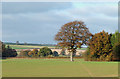
Fields near Bourton, Shropshire
The public bridleway towards the edge of the woodland has been trodden by two (maybe three) horse, and me in the last day or so. Apart from that, I could not find clear evidence of the way being used since the soil was prepared and the seed planted in late summer.
Image: © Roger D Kidd
Taken: 2 Nov 2007
0.25 miles