IMAGES TAKEN NEAR TO
Lower Haven Hills, SHIFNAL, TF11 9NT
Introduction
This page details the photographs taken nearby to TF11 9NT by members of the Geograph project.
The Geograph project started in 2005 with the aim of publishing, organising and preserving representative images for every square kilometre of Great Britain, Ireland and the Isle of Man.

There are currently over 7.5m images from over14,400 individuals and you can help contribute to the project by visiting https://www.geograph.org.uk
Image Map
Images are licensed for reuse under creativecommons.org/licenses/by-sa/2.0
Notes
- Clicking on the map will re-center to the selected point.
- The higher the marker number, the further away the image location is from the centre of the postcode.
Image Listing (6 Images Found)
Images are licensed for reuse under creativecommons.org/licenses/by-sa/2.0
Image
Details
Distance
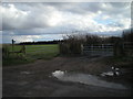
3
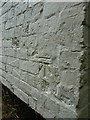
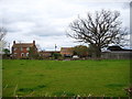
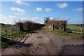
OS benchmark - Grindle, cottage near Field Farm
An OS cutmark on a cottage on the south side of the lane; originally levelled at 81.427m above Ordnance Datum Newlyn.
Image: © Richard Law
Taken: 2 Jul 2016
0.09 miles
5
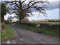
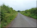
Lane to Ryton
The village of Beckbury can be seen in the distance.
Image: © Row17
Taken: 9 Mar 2008
0.18 miles