
IMAGES TAKEN NEAR TO
Manor Close, SHIFNAL, TF11 9AJ
Introduction
This page details the photographs taken nearby to Manor Close, TF11 9AJ by members of the Geograph project.
The Geograph project started in 2005 with the aim of publishing, organising and preserving representative images for every square kilometre of Great Britain, Ireland and the Isle of Man.

There are currently over 7.5m images from over14,400 individuals and you can help contribute to the project by visiting https://www.geograph.org.uk
Image Map
Images are licensed for reuse under creativecommons.org/licenses/by-sa/2.0
Notes
- Clicking on the map will re-center to the selected point.
- The higher the marker number, the further away the image location is from the centre of the postcode.
Image Listing (159 Images Found)
Images are licensed for reuse under creativecommons.org/licenses/by-sa/2.0
Image
Details
Distance
1
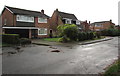
Manor Close houses, Shifnal
Houses near the western edge of Shifnal, viewed from the edge of the A4169.
Image: © Jaggery
Taken: 26 Nov 2015
0.01 miles
2
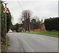
Warning sign - roundabout at the western edge of Shifnal
Facing eastbound traffic on the A4169 on the approach to this https://www.geograph.org.uk/photo/6283385 roundabout.
Image: © Jaggery
Taken: 26 Nov 2015
0.03 miles
3
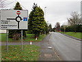
Newport and Wolverhampton direction sign in Shifnal
Facing traffic on the A4169 on the approach to this https://www.geograph.org.uk/photo/6283385 roundabout. The Newport shown here is in Shropshire.
Image: © Jaggery
Taken: 26 Nov 2015
0.05 miles
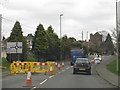
5
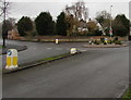
Knocked-over A4169 keep left sign, Shifnal
In late November 2015, the keep left sign in the foreground is vertical.
The one behind lies horizontally, apparently after a vehicle collision.
The A4169 on the camera side continues as the A4169 Innage Road on the left,
behind the signs. Church Street is behind the roundabout, on the right.
Image: © Jaggery
Taken: 26 Nov 2015
0.05 miles
6
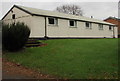
Unnamed single-storey building on the north side of the A4169, Shifnal
This looks like a hall. In November 2015 there was no name here to indicate the building's usage if any.
Update. I am grateful to Richard Law who told me that the building dating from the mid 1970s was originally the local youth club. It is still known as that, although it's more often used for kids' parties, the occasional music performance and keep-fit/yoga/Pilates etc.
Image: © Jaggery
Taken: 26 Nov 2015
0.05 miles
7
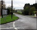
Distances from the west of Shifnal
The sign pointing along the A4169 shows Madeley 4 (miles), Ironbridge 6, Bridgnorth 11.
Image: © Jaggery
Taken: 26 Nov 2015
0.05 miles
8
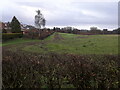
Houses and back gardens on Stafford Avenue
The houses were built here in the early 1960s, backing onto open country which has remained in agricultural use ever since. This field has recently been earmarked for new housing however, so their current outlook may well change in the not too distant future. The residents of the houses all bought some additional land and extended their gardens by roughly 10 or 15 yards some years ago, which is why the rear hedgeline does a distinct 'kink' between the evergreen tree and the silver birch about 40 yards away.
Image: © Richard Law
Taken: 14 Dec 2020
0.05 miles
9
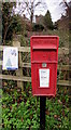
Queen Elizabeth II postbox on a Shifnal corner
On the corner of Vicarage Drive and Church Street in the west of Shifnal.
Image: © Jaggery
Taken: 26 Nov 2015
0.06 miles
10
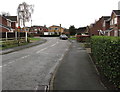
Vicarage Drive, Shifnal
Viewed from the corner of the A4169 looking towards the Manor Close junction.
Image: © Jaggery
Taken: 26 Nov 2015
0.06 miles