IMAGES TAKEN NEAR TO
EARLSTON, TD4 6BE
Introduction
This page details the photographs taken nearby to TD4 6BE by members of the Geograph project.
The Geograph project started in 2005 with the aim of publishing, organising and preserving representative images for every square kilometre of Great Britain, Ireland and the Isle of Man.

There are currently over 7.5m images from over14,400 individuals and you can help contribute to the project by visiting https://www.geograph.org.uk
Image Map
Images are licensed for reuse under creativecommons.org/licenses/by-sa/2.0
Notes
- Clicking on the map will re-center to the selected point.
- The higher the marker number, the further away the image location is from the centre of the postcode.
Image Listing (7 Images Found)
Images are licensed for reuse under creativecommons.org/licenses/by-sa/2.0
Image
Details
Distance
2
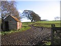
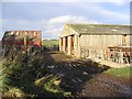
A muddy access track
Entrance to a field at Yarlside Farm.
Image: © Walter Baxter
Taken: 1 Dec 2006
0.03 miles
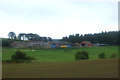
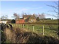
5
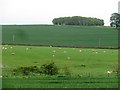
Yarlside
A mixture of arable and sheep pasture with a small woodland quad. on top of a hill.
Image: © Richard Webb
Taken: 29 May 2012
0.19 miles
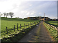
7
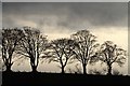
Winter trees at Yarlside
This early January scene was viewed from the B6397.
Image: © Walter Baxter
Taken: 5 Jan 2014
0.24 miles